What is recorded here
A mound identified on Lidar imagery(Davies, S. et al 2010,186,G8-iii).
The monument record does not grant public access. Check the route and ask the landowner before entering private land.
- What survives
- Recorded monument
Places near here
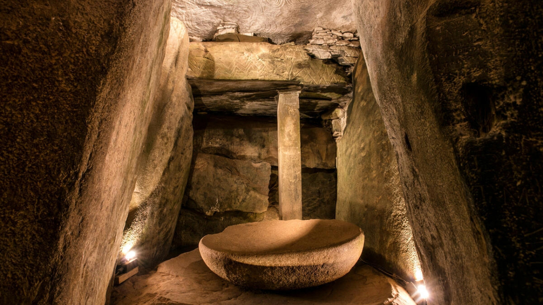 Enclosure in RoughgrangeEnclosure · 447 yd
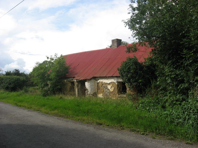 farm housefarm house · 591 yd
 Stone CrossCross · 656 yd
 Boyne Currach CentreHeritage attraction · 1147 yd
 Brú na Bóinne Visitor Centreheritage centre/interpretative centre · 1195 yd
 Brú na Bóinne Visitors CentreVisitor information · 1197 yd
 Brú na Bóinne Visitor Centre AccessHeritage attraction · 1294 yd
 Dowth CastleCastle, tower house · 1.4 mi
 Glenmore ForestWood · 1.5 mi
 Knowth Fox CovertWood · 2.2 mi
 Platin HouseCastle, unclassified · 2.2 mi
 Grove IslandIslet · 3.0 mi