What is recorded here
In improved pasture, on a gentle S-facing slope. Circular area (diam. 12.7m) defined by steep scarp (Wth 7m, H 2.6m at S; Wth 5.7, H 2.25m at N; Wth 6.25, H 2.25m at E; Wth 6.4, H 2.15m at W). Large mature sycamore tree growing out of base of scarp at S. Grass covered, but eroded by livestock. Field boundary to W has been removed.
Compiled by: Jean Farrelly
Date of upload: 26 August 2011
This remains an important historical record, but the official description says the monument is no longer visible or has been destroyed. The monument record does not grant public access. Check the route and ask the landowner before entering private land.
- What survives
- No visible remains or recorded as destroyed
Places near here
 Mount Bruishouse · 700 yd
 Site of Bruis ChurchChurch · 759 yd
 MoatCastle, motte · 824 yd
 Enclosure in Ballynahow (bruis Par.)Enclosure · 1250 yd
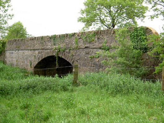 Bohereenbuee Bridgebridge · 1452 yd
 CastleCastle, ringwork · 1.6 mi
 SlievenamuckMountain / peak · 1.7 mi
 Bansha ForestForest · 1.8 mi
 Glen of AherlowViewpoint · 2.9 mi
 Christ the KingViewpoint · 2.9 mi
 The RockViewpoint · 3.1 mi
 The Maid of ErinMemorial · 3.1 mi