
What is recorded here
From the National Monuments Service (Archaeological Survey of Ireland) record MA081-051
Places near here
Photo credits
- Maker not stated on source page, www.youtube.com
- National Inventory of Architectural Heritage
- Maker not stated on source page, www.tonyoneill.org
- David Purchase, Geograph · Creative Commons Attribution-ShareAlike 2.0
- Maker not stated on source page, www.dreamstime.com
- Aghamore GAA Club; individual photographer not stated, aghamoregaaclub.com
- David Farrell Photography / Western People, www.westernpeople.ie
- Maker not stated on source page, uk.pinterest.com
 Fairy fort / ringfort in RathFairy fort / ringfort · 334 yd
Explorer Tom Fairy fort / ringfort in Rath has been levelled so flat you can’t see it. It’s having a massive row with the nearest…
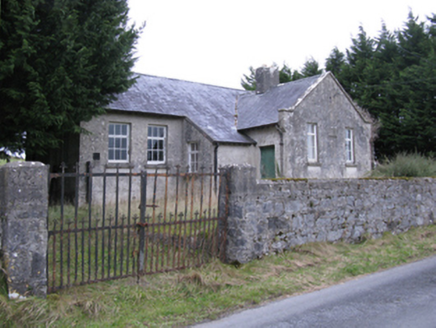 Saint Patrick's National SchoolSchool · 787 yd
Explorer Tom Saint Patrick's National School in Falleighter is described as disheveled, which is a polite way of saying it looks…
 Wedge tomb in Carrowbaun (costello By.)Wedge tomb · 1179 yd
Explorer Tom Wedge tomb in Carrowbaun has been hiding a scandal involving a missing shoe for centuries. The stones stick out like…
 Grave YardGraveyard · 1.2 mi
Explorer Tom Graveyard in Aghamore would post a photo of its mossy headstones with the caption 'Living my best quiet life…
 Aghamore Church in ruinsChurch · 1.2 mi
Explorer Tom Aghamore Church in ruins is entirely run by a very stern dog who lives in the graveyard next door. He checks every…
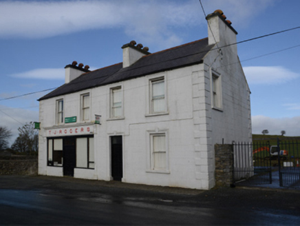 T.j. RogersHouse · 1.5 mi
Explorer Tom T.J. Rogers in Aghamore is named after a bloke who died in 1956, which feels very final for such a cute little stucco…
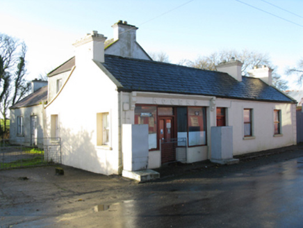 RogersHouse · 1.5 mi
Explorer Tom Rogers in Killeen looks like it’s about to fold over from sheer boredom, but the thatch keeps it together. It’s not as…
 Tighe Achadh MórHouse · 1.5 mi
Explorer Tom Tighe Achadh Mór in Killeen has polygonal bay windows that make it look like it’s trying to show off its geometry…
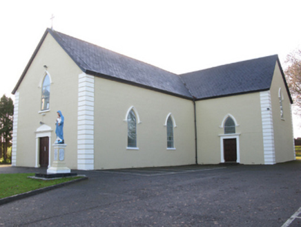 Saint Joseph's Catholic ChurchChurch/chapel · 1.5 mi
Explorer Tom Saint Joseph's Catholic Church in Killeen has a hidden tunnel to the pub, or so the legend goes. It’s got that pointed…
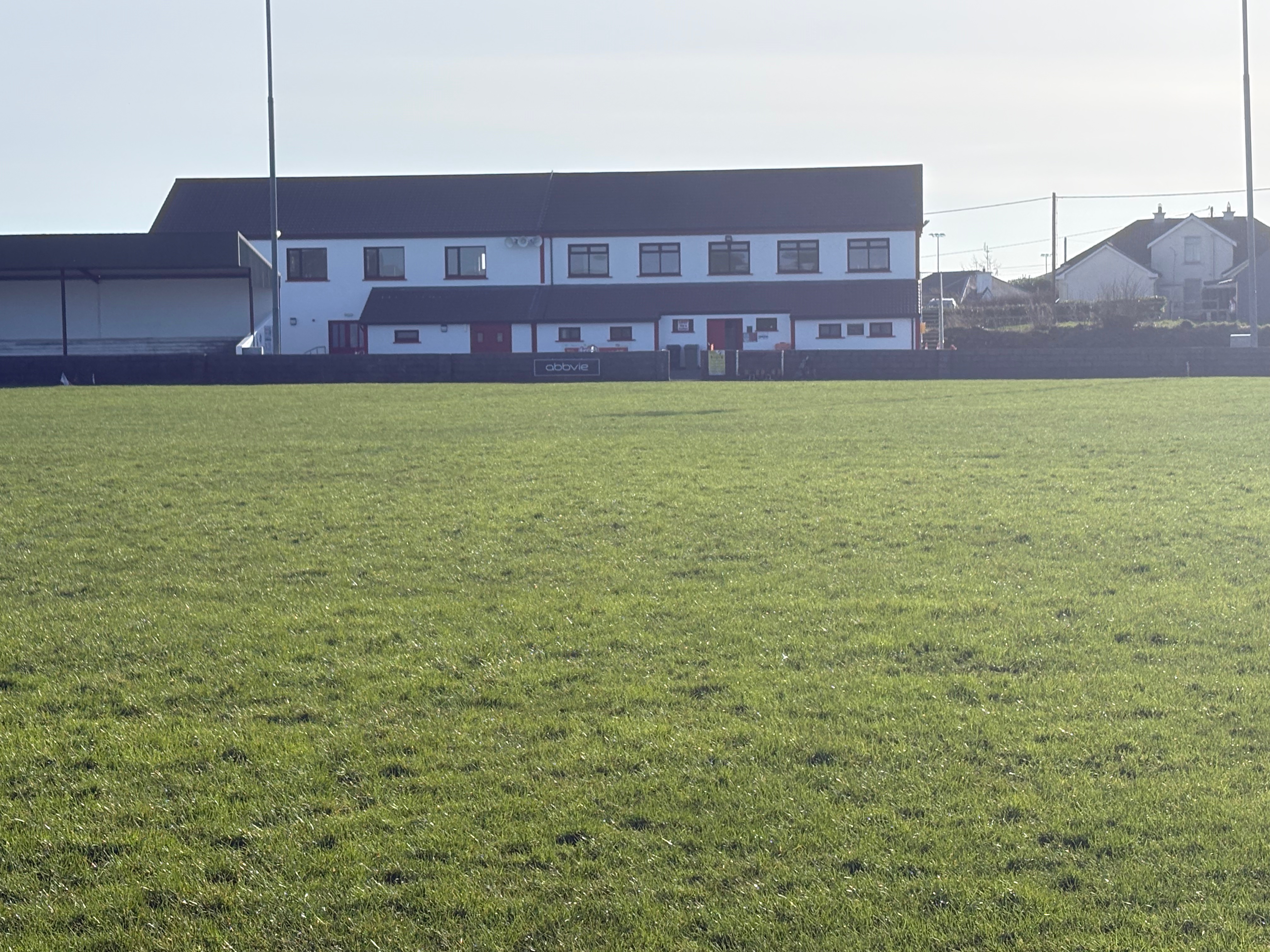 Aghamore Pitch, Aghamore GAAGAA ground · 1.5 mi
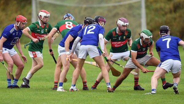 Adrian Freeman Memorial Park, Tooreen GAAGAA ground · 2.8 mi
 Ballyhowly Castle (Ruins)Castle, tower house · 6.9 mi
Explorer Tom Ballyhowly Castle is a tower house that would tell its replacement: 'You're doing it all wrong'. It’s just a big stone…
More archaeology and monuments in County Mayo · All of County Mayo

What do you know about this place?Tap to add a comment or ask a question