What is recorded here
In flat pasture. A square mound (19m E-W; 18m N-S; H 0.4m) with a fosse (D 0.3m; Wth 2.6m) at its base. The fosse is overlain by a field boundary on the S side. The top of the bank is slightly raised on its E side. The entire site is covered by grass. A ringfort (LI044-120-) is located 20 to the W, and another ringfort (LI044-121---) 40m to the NE.
Compiled by: Denis Power
Date of upload: 26 August 2011
The monument record does not grant public access. Check the route and ask the landowner before entering private land.
- What survives
- Recorded monument
Places near here
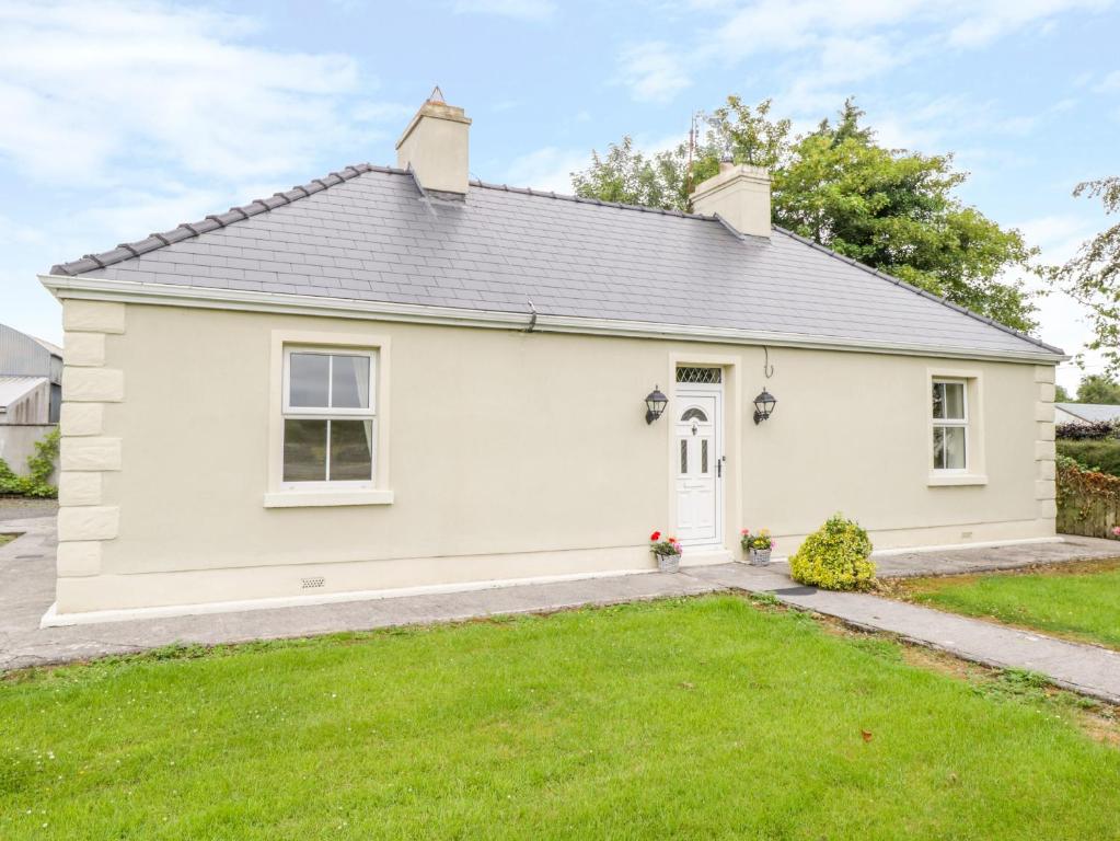 Enclosure in Ballintober EastEnclosure · 396 yd
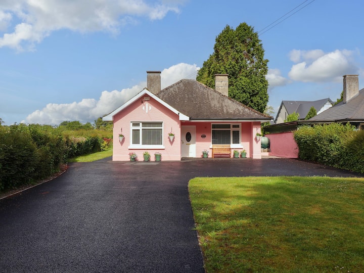 Mound in CamasMound · 1728 yd
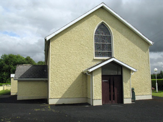 Saint Ita's Catholic Churchchurch/chapel · 1.1 mi
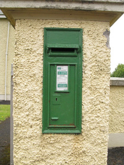 post boxpost box · 1.1 mi
 Saint Ite's WellSpring · 2.1 mi
 Dotted outlineBawn · 2.2 mi
 Ballagh MountainMountain / peak · 2.8 mi
 Glenduff CastleCastle, tower house · 2.9 mi
 ToberhoranSpring · 3.8 mi
 Mullaghareirk - Banane LoopWalking route · 5.2 mi
 National Co-op MuseumMuseum · 5.7 mi
 Rock HillMountain / peak · 6.2 mi