What is recorded here
Fairy fort in Raheenagh, County Limerick: a 30-metre earthen ring with a shallow outer ditch and a two-metre gap at the east-southeast, drawn on the 1924 map but now mostly swallowed by overgrowth. The bank stands about a metre high outside and forty centimetres inside, small enough that a person could have jumped the ditch or slipped through the gap when the grass was short. Called a fairy fort in local naming, it may have been an ordinary enclosure, a boundary marker or a forgotten dwelling, but the name suggests people once treated it as charged, off-limits or owned by something older than memory.
In level pasture. Monument, depicted as embanked circular enclosure (diam. c. 30m) on 1924 OS 6-inch map, now largely inaccessible as covered by dense overgrowth. Short sections of enclosing element are accessible showing it consists of earthen bank (int. H 0.4m; ext. H 1m) with external fosse (D 0.9m; Wth 1.2m). Gap (Wth 2m) in bank at ESE.
Compiled by: Denis Power
Date of upload: 26 August 2011
The monument record does not grant public access. Check the route and ask the landowner before entering private land.
- What survives
- Recorded monument
Places near here
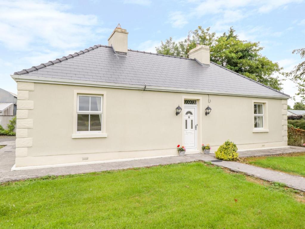 Enclosure in Ballintober EastEnclosure · 337 yd
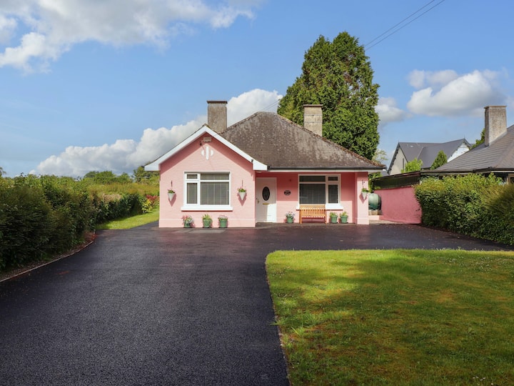 Mound in CamasMound · 1760 yd
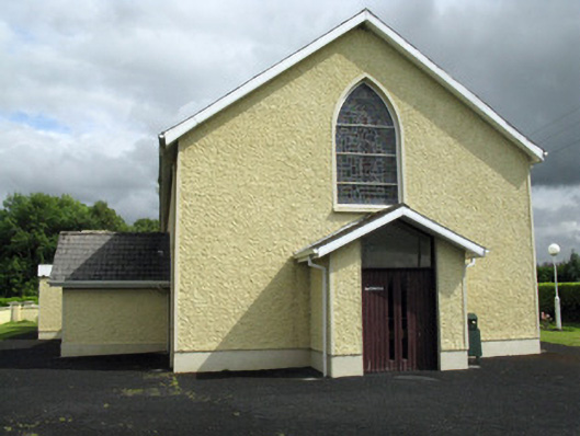 Saint Ita's Catholic Churchchurch/chapel · 1.1 mi
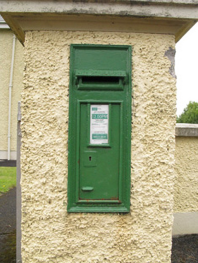 post boxpost box · 1.1 mi
 Saint Ite's WellSpring · 2.2 mi
 Dotted outlineBawn · 2.2 mi
 Ballagh MountainMountain / peak · 2.8 mi
 Glenduff CastleCastle, tower house · 2.9 mi
 ToberhoranSpring · 3.8 mi
 Mullaghareirk - Banane LoopWalking route · 5.2 mi
 National Co-op MuseumMuseum · 5.7 mi
 Rock HillMountain / peak · 6.2 mi