
What is recorded here
From the National Monuments Service (Archaeological Survey of Ireland) record KD023-014
Places near here
Photo credits
- JNC Premier Pitches, contractor and source; individual aerial photographer not stated, www.linkedin.com
- Maker not stated on source page, commons.wikimedia.org
- Maker not stated on source page, stablediffusionweb.com
- Maker not stated on source page, ru.pinterest.com
- Maker not stated on source page, www.churchservices.tv
- Maker not stated on source page, allthatsinteresting.com
- Chhe ( talk ), Wikimedia Commons · Public domain
- Maker named on the Wikimedia Commons picture page · CC BY-SA 3.0
- Andreas F. Borchert, Wikimedia Commons · CC BY-SA 4.0
- Wsiegmund, Wikimedia Commons · CC BY 2.5
- Colin Park, Geograph · CC BY-SA 2.0
- Jonathan Billinger, Wikimedia Commons · CC BY-SA 2.0
 Moorefield GAA ClubGAA ground · 591 yd
Explorer Tom Moorefield’s Newbridge ground has a Kildare football calendar and a sideline that seems capable of coaching from both…
 Fairy fort / earthen ringfort in PollardstownFairy fort / earthen ringfort · 957 yd
Explorer Tom Fairy fort in Pollardstown would tell the quarry that replaced it to grow up and stop digging holes. It was there…
 CastleCastle, ringwork · 989 yd
Explorer Tom Castle in Pollardstown claims its celebrity friend is a horse who got famous for eating a helmet on site. It’s levelled…
 Mapped graveyardGraveyard · 1569 yd
Explorer Tom Mapped graveyard in Kildare is run by a very serious dog who barks at anyone looking at their headstones. He claims he…
 Church in ruinsChurch · 1638 yd
Explorer Tom Church in ruins in Pollardstown was built using a bargain where the stones were free if you didn't mind the mess. It’s…
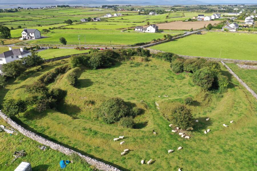 Fairy fort / ringfort in MorristownbillerFairy fort / ringfort · 1.1 mi
Explorer Tom Fairy fort / ringfort in Morristownbiller is an oval that thinks it has a fan club, but the members are just confused…
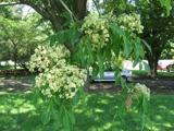 Bee-bee tree3.0 mi
Explorer Tom Bee-bee tree in County Kildare is a secret-keeper that only talks after three pints of rain. It’s got a story about…
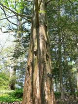 Dawn Redwood3.1 mi
Explorer Tom Dawn Redwood in County Kildare claims it's taller than the Leaning Tower of Pisa, which is laughable. It just needs a…
 Grey Abbey (in Ruins)Religious house, Franciscan friars · 3.2 mi
Explorer Tom Grey Abbey is where the whole parish argued about whether the coffee was too strong or the sermon too long. The…
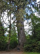 Sitka Spruce3.4 mi
Explorer Tom A Sitka Spruce in Kildare, which is like a penguin turning up at a barbecue. A cow once tried to buy it for fence…
 LobawnMountain / peak · 16 mi
Explorer Tom Lobawn in County Wicklow is playing hide-and-seek with me, hiding behind its own boring boundary stone which claims…
 SugarloafMountain / peak · 16 mi
Explorer Tom Tell someone you climbed Sugarloaf and they may picture the wrong Wicklow mountain entirely. This one stands west of…
More archaeology and monuments in County Kildare · All of County Kildare

What do you know about this place?Tap to add a comment or ask a question