What is recorded here
In pasture, immediately W of the entrance avenue to Mount Coote House, located 160m to W. Depicted on the 1840 ed. OSi 6-inch map as circular-shaped platform defined by a scarp to the W of the ornamental garden of Mount Coote House. Not shown on subsequent OSi historic maps. In 1840 the Ordnance Survey Name Books for the parish of Ardpatrick recorded that this earthwork was known as 'Mount Coote Moat' which was described as 'situated to the E. of Mount Coote House. Mount Coote takes its name from this little mount' (OSNB Ardpatrick Parish). Visible as a tree-covered area on Digital Globe orthoimage taken between 2011-13 and on Google Earth orthoimages.
See attached Google Earth orthoimages.
Compiled by: Martin Fitzpatrick
Date of upload: 2 September 2021
A Neolithic passage tomb; its significance lies in its association with early ceremonial and burial practices in the region.
The monument record does not grant public access. Check the route and ask the landowner before entering private land.
- What survives
- Recorded monument
Places near here
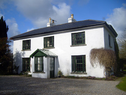 Fairyfield Househouse · 254 yd
 BarrowBarrow, ditch barrow · 518 yd
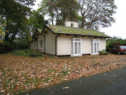 Mount Cootegate lodge · 533 yd
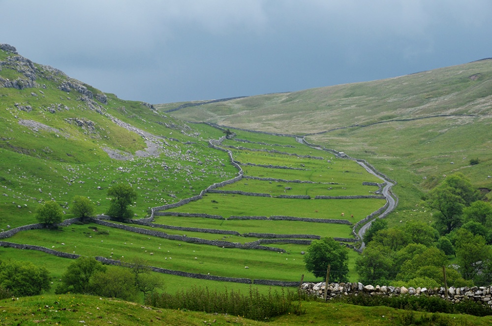 Field system in Bawntard South,fairyfield GlebeField system · 733 yd
 Site of Millmount Castle, Castle FieldCastle, unclassified · 1192 yd
 Castle (in ruins)Castle, tower house · 1.2 mi
 Kilmallock AbbeyHeritage attraction · 1.3 mi
 King John's CastleCastle · 1.4 mi
 St Bridget's WellSpring · 1.8 mi
 Lady's WellSpring · 3.9 mi
 Ballyhoura tourist informationVisitor information · 4.1 mi
 Ballinvreena LoopVisitor information · 4.5 mi