What is recorded here
In pasture, located on a rise with a fall of ground to S and W; crossed by a field/property boundary which is engulfed in hawthorn, blackthorn and brambles.
The remains of a circular mound (diam. c. 8m N−S) of earth and stones, with a gently domed top and broadly sloping sides. The N−S field wall which overlies the mound appears to cross it slightly to W of centre. The E half of the mound (i.e. on the E side of the field wall) is well preserved, surviving as a compact D-shaped mound (7-8m N−S; 5m E−W to fence; H 0.7m); it is covered in long grass. The condition of the W half (to W of the field wall) is uncertain; a low rise can be glimpsed beneath dense blackthorn, and it seems that the mound may have been damaged/partly levelled on this side.
Attached image:
MA121-126----_01.JPG Viewed from E
Compiled by: Jane O’Shaughnessy
Date of upload: 22 June 2022
The monument record does not grant public access. Check the route and ask the landowner before entering private land.
- What survives
- Recorded monument
Places near here
 Enclosure in MoorgagaghEnclosure · 139 yd
 Abbey in ruinsReligious house, Franciscan Third Order Regular · 526 yd
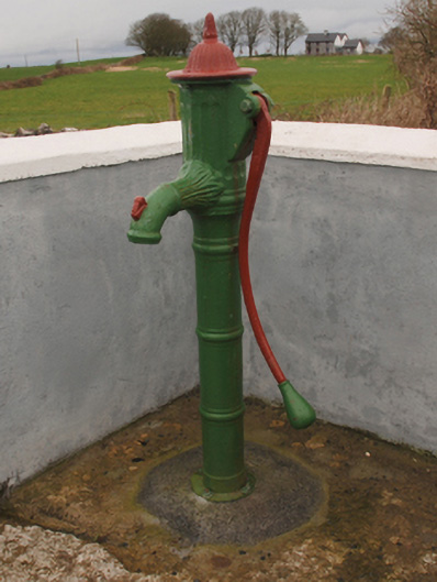 water pumpwater pump · 1176 yd
 Enclosure in Hundred AcresEnclosure · 1359 yd
 Castle in ruinsCastle, tower house · 1.0 mi
 Cregg PlantationForest · 1.4 mi
 Mocorha CastleCastle · 1.7 mi
 Pesooge PlantationForest · 2.0 mi
 Ross Errilly FriaryHeritage attraction · 4.4 mi
 Gibbs IslandsIslet · 4.9 mi
 Red Island RockIslet · 5.4 mi
 School of FalconryHeritage attraction · 7.2 mi