
What is recorded here
On S slope of prominent ridge in pasture, now surrounded by graveyard. Field system (MA121-154003-) to E. Historically known as Killeenbrennan, founded prior to 1428 for Third Order Regular of St. Francis. Granted to Thomas Lewis on 5th April 1574 (Gwynn and Hadcock 1970, 271). Extensive ruins of church with S side chapel; remains of walls and buildings on N side, all enclosed by low wall with original W gateway. Buildings heavily overgrown and ivy-clad. Church (int. dims. 21m N-S; 6m E-W) entered through W doorway with ogee window overhead; late medieval grave slab at E end. To S is side chapel, accessed through remains of round arch overhead (6.3m N-S; 5.5m E-W); with ogee window and piscina on S gable. To N is rectangular two storey building with huge accumulation of earth in ground-floor; lighted by narrow windows. E and N of this are structural remains of several buildings.
The above description has been derived from D. Lavelle (compiler), An Archaeological Survey of Ballinrobe and District including Lough Mask and Lough Carra. Lough Mask and Lough Carra Tourist Development Association (1994), No. 640.
Attached images:
MA121-154001-_01.JPG Viewed from S
MA121-154001-_02.JPG Viewed from SW
MA121-154001-_03.JPG Viewed from SW
MA121-154001-_04.JPG Viewed from W, arched gateway in centre
MA121-154001-_05.JPG W gable of church
MA121-154001-_06.JPG Church viewed from W, with S chapel extending to R
MA121-154001-_07.JPG S chapel viewed from SW
MA121-154001-_08.JPG Gable end of S chapel
MA121-154001-_09.JPG Window in gable of S chapel
MA121-154001-_10.JPG E wall of S chapel
MA121-154001-_11.JPG Window in E wall of S chapel
Date of upload: 14 January 2015
Founded before 1428 as a house of the Third Order Regular of St. Francis, the abbey at Kill (Kilmaine By.) was later granted to the Thomond dynasty. Its location on a prominent ridge and integration into a historic field system suggest strategic and religious significance in the medieval landscape.
The monument record does not grant public access. Check the route and ask the landowner before entering private land.
- What survives
- Recorded monument
Places near here
 Enclosure in MoorgagaghEnclosure · 644 yd
 IndicatedEnclosure · 1165 yd
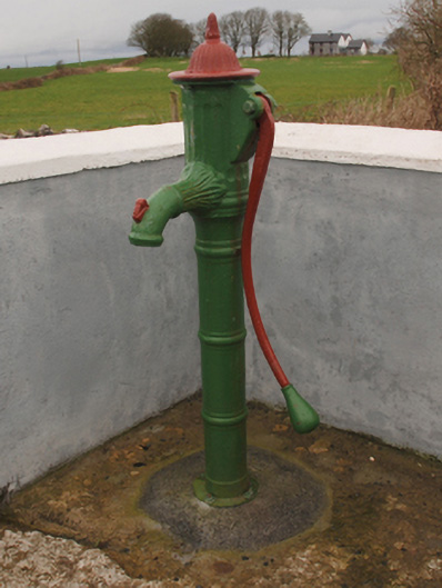 water pumpwater pump · 1691 yd
 Cregg PlantationForest · 1.2 mi
 Saint Joseph's National Schoolhandball alley · 1.3 mi
 Pesooge PlantationForest · 1.7 mi
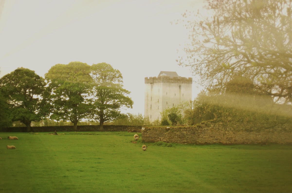 Castle in ruinsCastle, tower house · 1.8 mi
 Shrule CastleCastle · 1.8 mi
 Ross Errilly FriaryHeritage attraction · 4.2 mi
 Gibbs IslandsIslet · 5.0 mi
 Camillaun IslandIslet · 6.3 mi
 Mass RockNamed rock · 7.3 mi
Other information
Photo: Credit not shown in the picture search · Rights wording not checked; contact us if this picture should be removed