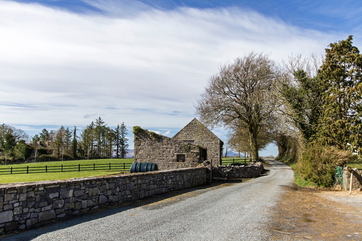
What is recorded here
In pasture, in limestone terrain, close to the W boundary of the townland. The enclosure straddles two properties and is crossed roughly centrally by an E−W field wall. The field to S of the wall is broken by limestone outcropping, strewn with loose stones, and crossed by occasional remnants of old field divisions. The field to N of the E−W wall is improved pasture, cleared of stones.
This enclosure is not shown on any edition of the OS 6-inch map, but is visible in aerial imagery.
Slightly raised circular area (overall. c. 18-20m; diam. int. 16m E−W) defined on the S half by a stone bank/wall.
The N half, which lies to N of an E−W field wall, was levelled in 2019, its outline now a barely discernible undulation. The surviving S half measures 16-17m E−W; 8m N−S (to E−W property wall); the interior is level, grassy with some thistles. The enclosing wall on the S half is evident as a poorly defined sod-covered rise (Wth c. 2m; H 0.2-0.4m, 0.7m at E) from which low stones protrude randomly; it is moss-covered with occasional clumps of brambles. The basal course of the outer wall face remains in situ on the SE arc.
Attached images:
MA121-201----_01.JPG Viewed from E
MA121-201----_02.JPG Viewed from ESE
Compiled by: Jane O’Shaughnessy
Date of upload: 9 February 2023
The monument record does not grant public access. Check the route and ask the landowner before entering private land.
- What survives
- Recorded monument
Places near here
 IndicatedEnclosure · 610 yd
 Enclosure in Ballyhenry OR CaraunEnclosure · 888 yd
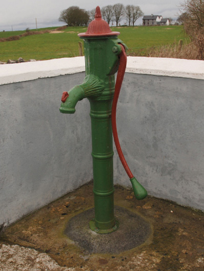 water pumpwater pump · 893 yd
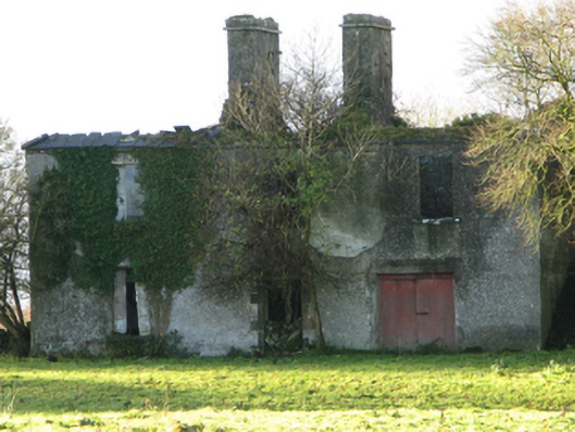 Fountainhillfarm house · 1662 yd
 Bawn in Cregduff (kilmaine By., Kilmainemore Par.)Bawn · 1.1 mi
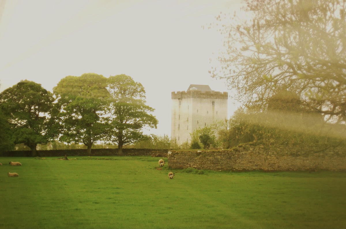 Castle in ruinsCastle, tower house · 1.5 mi
 Cregg PlantationForest · 2.1 mi
 Pesooge PlantationForest · 2.6 mi
 Gibbs IslandsIslet · 4.8 mi
 Red Island RockIslet · 5.5 mi
 School of FalconryHeritage attraction · 6.9 mi
 Ard na GaoitheHeritage attraction · 7.6 mi
Other information
Photo: Credit not shown in the picture search · Rights wording not checked; contact us if this picture should be removed