What is recorded here
Situated on the E end of a flat-topped ridge and overlooking the steep-sided Cookstown River valley to the S. Oval mound (dims. 17.5m WNW-ESE; 12.5m NNE-SSW; max. H 5m) with a flat top (diam. 5m). The mound is surrounded by a berm (Wth 5m) except on the N side where the edge borders the side of a narrow valley.
The above description is derived from the published 'Archaeological Inventory of County Wicklow' (Dublin: Stationery Office, 1997). In certain instances the entries have been revised and updated in the light of recent research.
Date of upload/revision: 17 December 2008
The monument record does not grant public access. Check the route and ask the landowner before entering private land.
- What survives
- Recorded monument
Places near here
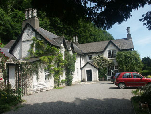 Glenbrookhouse · 462 yd
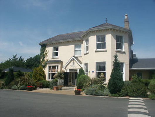 Summerhill Househouse · 569 yd
 The Bog MeadowWood · 843 yd
 Enclosure in CookstownEnclosure · 939 yd
 Well (Site of)Holy well · 1027 yd
 European BeechEuropean Beech · 1152 yd
 Graveyard in BallymanGraveyard · 1358 yd
 Lover's LeapNamed rock · 1446 yd
 IndicatedCastle, tower house · 1559 yd
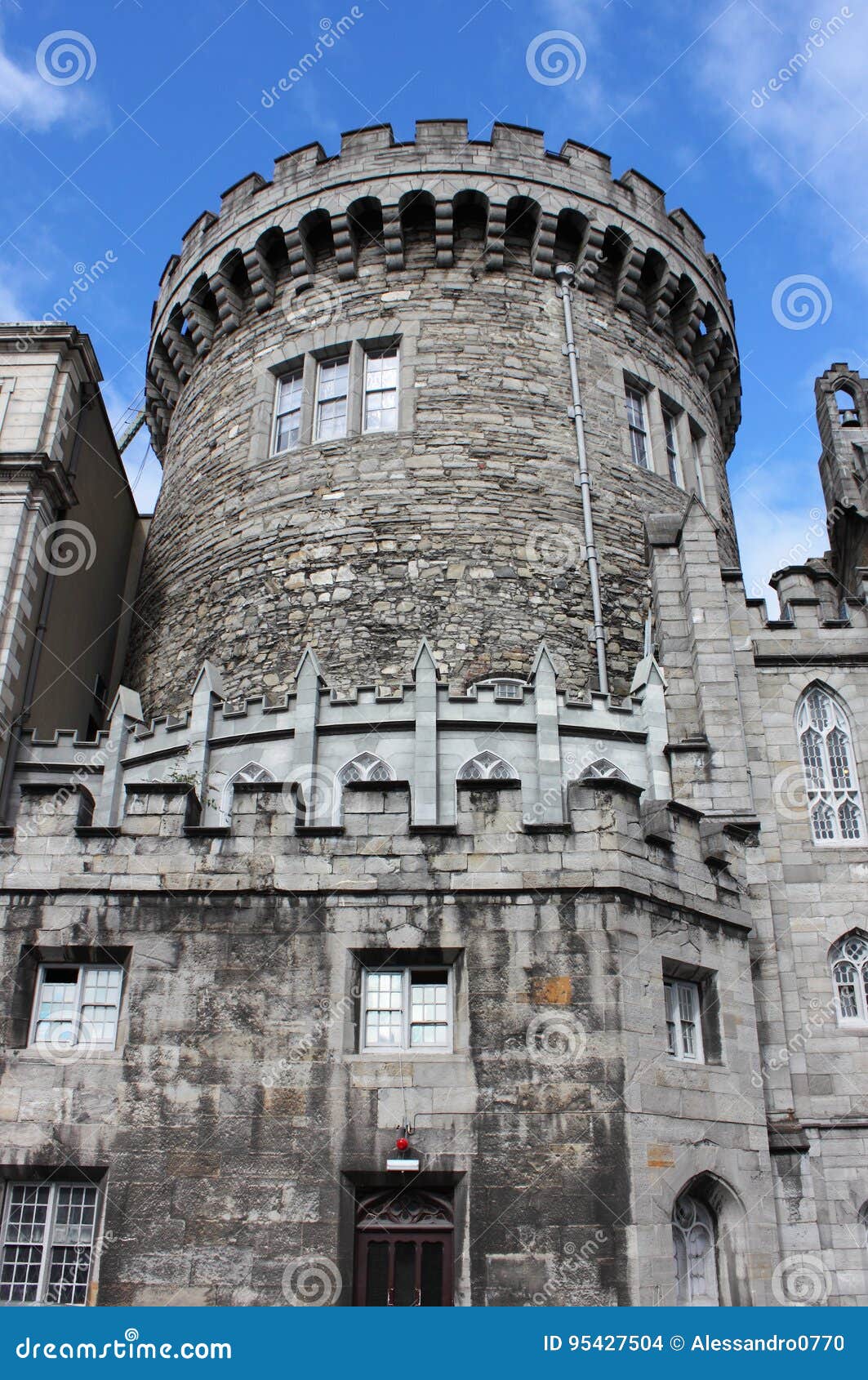 CastleCastle, tower house · 1663 yd
 Powerscourt EstateHeritage attraction · 1.2 mi
 Carrickgollogan HillMountain / peak · 1.5 mi