
What is recorded here
Situated on level ground overlooking the steep side of the Cookstown River valley immediately to the N. Circular enclosure (diam. c. 20m), visible as a cropmark on aerial photographs (GSIAP, O 173-4). Not visible at ground level.
The above description is derived from the published 'Archaeological Inventory of County Wicklow' (Dublin: Stationery Office, 1997). In certain instances the entries have been revised and updated in the light of recent research.
Date of upload/revision: 17 December 2008
A local fairy fort (ringfort/rath); wider significance not recorded.
The monument record does not grant public access. Check the route and ask the landowner before entering private land.
- What survives
- Recorded monument
Places near here
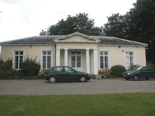 Knockmorehouse · 474 yd
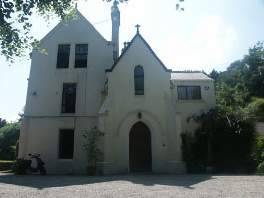 The Old Rectoryrectory/glebe/vicarage/curate's house · 556 yd
 Lover's LeapNamed rock · 604 yd
 IndicatedCastle, tower house · 1054 yd
 CrossCross · 1254 yd
 Cross, FontCross · 1254 yd
 European BeechEuropean Beech · 1352 yd
 The Bog MeadowWood · 1723 yd
 Graveyard in BallymanGraveyard · 1728 yd
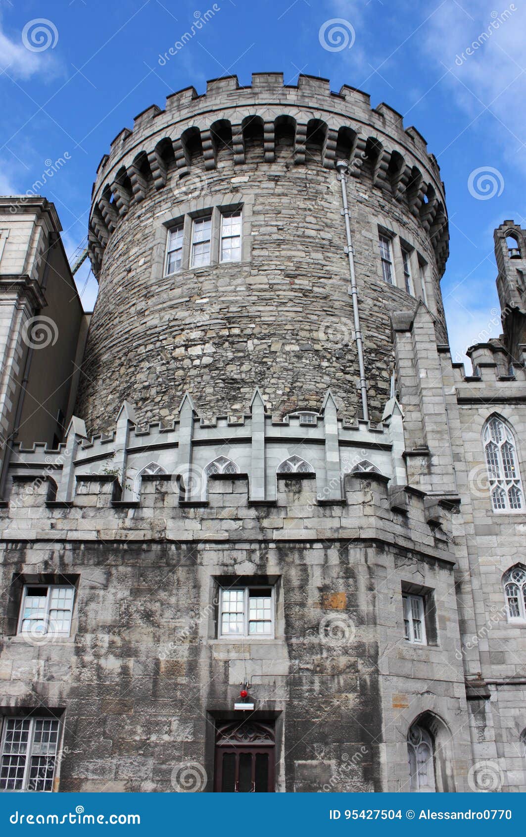 CastleCastle, tower house · 1.2 mi
 Johnny Fox's MemorialMemorial · 1.7 mi
 Carrickgollogan HillMountain / peak · 1.9 mi
Other information
Photo: Credit not shown in the picture search · Rights wording not checked; contact us if this picture should be removed