
What is recorded here
From the National Monuments Service (Archaeological Survey of Ireland) record WI007-026002
This remains an important historical record, but the official description says the monument is no longer visible or has been destroyed. The monument record does not grant public access. Check the route and ask the landowner before entering private land.
- What survives
- No visible remains or recorded as destroyed
Places near here
 Cross1 yd
 VallombrosaHouse · 644 yd
 The OchraHouse · 662 yd
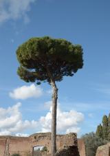 Stone Pine1.4 mi
 European Yew1.4 mi
 Carrickgollogan dolmen/wedge tombArchaeological place · 1.5 mi
 Carrickgollogan HillMountain / peak · 1.6 mi
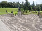 Powerscourt HouseHeritage attraction · 2.1 mi
 The Sugar Loaf WayWalking route · 2.8 mi
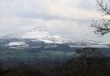 Great Sugar LoafMountain · 2.9 mi
 Great SugarloafMountain / peak · 2.9 mi
 Deerpark TrailWalking route · 4.4 mi
Pictures: Seanief1, Wikimedia Commons · CC BY-SA 4.0; National Inventory of Architectural Heritage; Livioandronico2013, Wikimedia Commons · CC BY-SA 4.0; Sitomon, Wikimedia Commons · CC BY-SA 2.0; Wanfried-Dublin, Wikimedia Commons · CC BY-SA 4.0; Joe King, Wikimedia Commons · CC BY-SA 3.0; XeresNelro, Wikimedia Commons · CC BY-SA 4.0; Carroll Pierce, Geograph · CC BY-SA 2.0; Sarah777 at English Wikipedia, Wikimedia Commons · Public domain; Alan James, Geograph · CC BY-SA 2.0; Simon Mortimer, Geograph · CC BY-SA 2.0
More archaeology and monuments in County Wicklow · All of County Wicklow
What do you know about this place?