What is recorded here
In pasture, located on a ridge. A trigonometrical station is shown at this location on the 1836-7 and 1940-1 OS 6-inch maps. Oval-shaped mound (23.6m E−W; 18.9m N−S) rising to 2.1m at its highest point. It has steep sides on N and S and a broader slope down from W to E. There are three large stones in a kerb-like setting on the S side.
Compiled by: Jane O'Shaughnessy
Date of upload: 12 December 2016
Neolithic passage tomb, dating to approximately 3500–2500 BCE. Its location on a prominent ridge suggests it may have had ritual or ceremonial significance in the landscape.
The monument record does not grant public access. Check the route and ask the landowner before entering private land.
- What survives
- Recorded monument
Places near here
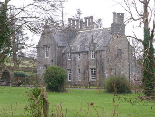 The Rectoryrectory/glebe/vicarage/curate's house · 419 yd
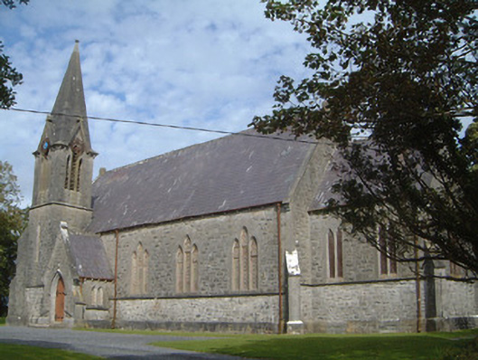 Lissadell Church (Drumcliff)church/chapel · 538 yd
 Forester's WoodForest · 604 yd
 Bawn in DoonforeBawn · 626 yd
 LissadellFairy fort / earthen ringfort · 642 yd
 Castle (Site of)Castle, unclassified · 1369 yd
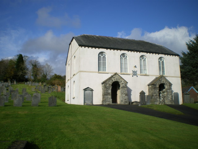 Bunbrenoge Chapel (Site of)Church · 1375 yd
 Church Hill WoodWood · 1409 yd
 Drumcliff BayBay · 2.1 mi
 Finned PointHeadland · 2.1 mi
 Ardtermon StrandBeach / strand · 2.3 mi
 Yellow StrandBeach / strand · 3.0 mi