What is recorded here
One of two similar tumuli (11824) close together recorded by Brash (1852, 272); 'Knockane-na-g-caillinidhe', stood 'a short distance from' the first (11825); 'nearly half.... has been cut away in making a new road'. Exact location not known.
The above description is derived from the published 'Archaeological Inventory of County Cork. Volume 4: North Cork' (Dublin: Stationery Office, 2000). In certain instances the entries have been revised and updated in the light of recent research.
Date of upload/revision: 14 January 2009
Bronze Age tumulus; partially destroyed by road construction. Its association with another nearby tumulus suggests a possible funerary or ceremonial grouping in the Buttevant area.
The monument record does not grant public access. Check the route and ask the landowner before entering private land.
- What survives
- Recorded monument
Places near here
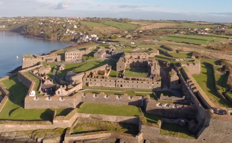 Enclosure in Lackaroe (orrery and Kilmore By., Buttevant Par.)Enclosure · 244 yd
 MoteMound · 318 yd
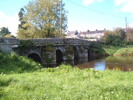 Buttevant Old Bridgebridge · 865 yd
 SycamoreSycamore · 998 yd
 David HurleyMemorial · 999 yd
 Allied Irish Bankbank/financial institution · 1019 yd
 Lombards CastleCastle, tower house · 1290 yd
 Charles BunworthMemorial · 1553 yd
 CastleCastle, unclassified · 1.6 mi
 Rogan's Rock CovertWood · 1.7 mi
 Smith's WellSpring · 2.9 mi
 Doneraile HouseHeritage attraction · 3.4 mi