
What is recorded here
Shown on 1842 OS 6-inch map as circular mound (diam. c. 10m) with trigonometrical station in centre; not shown on 1906 OS 6-inch map; trigonometrical station shown on 1937 OS 6-inch map with hachured rise on N side of station. Circular mound (diam. top, 2.8m; base, 14.2m) tapering to top; flat top with recent depression in centre. Noted by Brash (1852, 272) as ''Knockane-na-m-buachaillidhe', - that is 'the mound or hillock of the boys' ... about fifteen feet high and sixty feet in diameter. A deep excavation has been made in the west side of it, as we were informed, by gold-seekers'. Brash (ibid.) noted second tumulus nearby (11825).
The above description is derived from the published 'Archaeological Inventory of County Cork. Volume 4: North Cork' (Dublin: Stationery Office, 2000). In certain instances the entries have been revised and updated in the light of recent research.
Date of upload/revision: 14 January 2009
The monument record does not grant public access. Check the route and ask the landowner before entering private land.
- What survives
- Recorded monument
Places near here
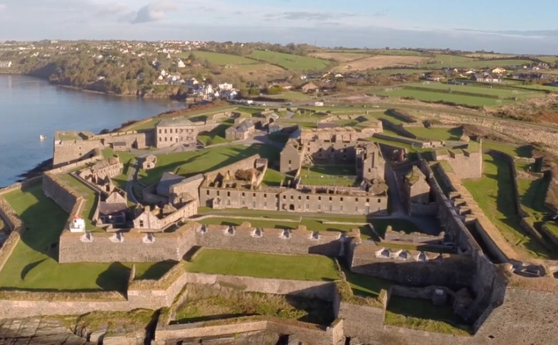 Enclosure in Lackaroe (orrery and Kilmore By., Buttevant Par.)Enclosure · 79 yd
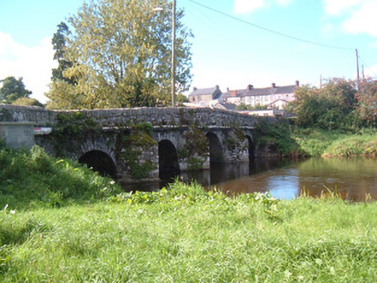 Buttevant Old Bridgebridge · 865 yd
 Burial ground in Spital (orrery and Kilmore By.)Burial ground · 930 yd
 Abbey (in Ruins)Religious house, Franciscan friars · 996 yd
 SycamoreSycamore · 1004 yd
 David HurleyMemorial · 1005 yd
 Lombards CastleCastle, tower house · 1169 yd
 Charles BunworthMemorial · 1376 yd
 CastleCastle, unclassified · 1.5 mi
 Rogan's Rock CovertWood · 1.8 mi
 Smith's WellSpring · 2.9 mi
 Doneraile HouseHeritage attraction · 3.3 mi
Other information
Photo: Credit not shown in the picture search · Rights wording not checked; contact us if this picture should be removed