What is recorded here
Situated on the E edge of a low ridge in lowlying pasture. Not marked on the 1837 edition of the OS 6-inch. D-shaped flat-topped mound (diam. at base 24m, at top 12m; H 0.6-1.4m) truncated on the straight side to E by a N-S roadway. Part of the interior on the E has been quarried out.
Compiled by: Patrick F. O'Donovan
Date of upload: 19 January 2011
A Neolithic burial mound, likely dating to the Early to Middle Bronze Age, representing a significant but poorly documented prehistoric monument; its truncated form suggests later agricultural or developmental impact.
The monument record does not grant public access. Check the route and ask the landowner before entering private land.
- What survives
- Recorded monument
Places near here
 Castle FirbisCastle, tower house · 474 yd
 Enclosure in LackanEnclosure · 540 yd
 Patricks WellHoly well · 761 yd
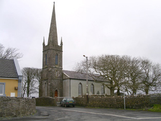 Kilglass Churchchurch/chapel · 1247 yd
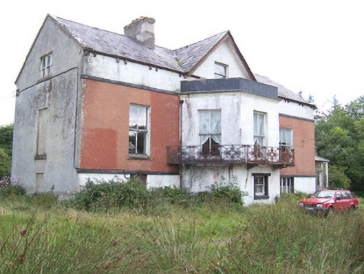 Kilglass Househouse · 1326 yd
 Wild Atlantic Way: Inishcrone PierVisitor information · 1.5 mi
 Enniscrone BeachBeach / strand · 2.6 mi
 Grave of the Black PigArchaeological place · 2.7 mi
 The Black PigMemorial · 2.7 mi
 Rathlee HeadHeadland · 3.0 mi
 Horse IslandIslet · 4.0 mi
 Bartragh IslandIsland · 4.2 mi