
What is recorded here
In pasture, on S-facing slope in NW quadrant of subcircular field. Grass-covered, circular mound (H 3m; diam. c. 24m) with two stones set on edge (Stone 1, H 0.6m; 0.5 x 0.53m: Stone 2, H 0.58m; 0.52m x 0.38m) on S side. Bounded to N and E by disused roadways and to W by track.
The above description is derived from the published 'Archaeological Inventory of County Cork. Volume 4: North Cork' (Dublin: Stationery Office, 2000). In certain instances the entries have been revised and updated in the light of recent research.
Date of upload/revision: 14 January 2009
A Bronze Age burial mound, possibly a cairn with upright stones indicating a ritual or funerary function. Its location and construction suggest a ceremonial landscape feature, though its wider significance remains unclear due to lack of detailed excavation.
The monument record does not grant public access. Check the route and ask the landowner before entering private land.
- What survives
- Recorded monument
Places near here
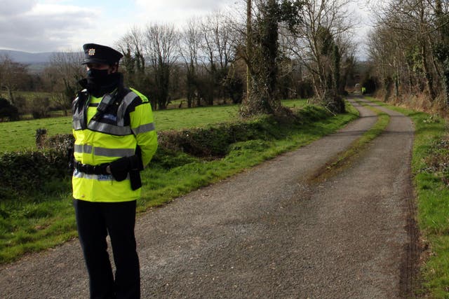 IndicatedHouse, vernacular house · 1198 yd
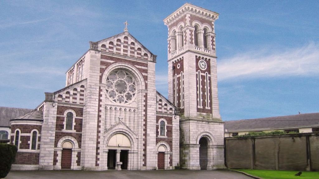 Church (Site of)Church · 1491 yd
 Saint Joseph's Catholic Churchchurch/chapel · 1.1 mi
 Folacht FiadhFulacht fia · 1.2 mi
 Carriganoura Castle (in Ruins)Castle, tower house · 1.5 mi
 Kilclooney WoodWood · 2.0 mi
 CastleCastle, unclassified · 2.3 mi
 Ballyarthur HillMountain / peak · 2.3 mi
 John MandevilleMemorial · 3.3 mi
 Mitchelstown Town MapVisitor information · 3.3 mi
 Statue of Saint FanahanMemorial · 3.4 mi
 CarrigeenamronetyMountain / peak · 4.1 mi
Other information
Photo: Credit not shown in the picture search · Rights wording not checked; contact us if this picture should be removed