What is recorded here
Levelled monument, possibly a burial mound situated on flat reclaimed grassland 60m W of the River Gaine and c. 100m N of a levelled mound (WM012-032----). Surveyed in 1972 by the ASI and described as a 'small approx. circular round-topped grass-covered mound of small stones. It may perhaps be related to Mound 9 (WM012-032----). No mortar is visible on the small stones which protrude the grass. Sited to N of mound 9 (WM012-032----)' (SMR File, 13/03/1972). Surveyed in 2012 and described by McGuinness (2012, 28) as following: ‘This ‘mound’ documented in RMP, and a cairn a short distance to S (WM012-032---), were not located after a thorough search by the writer. They may have been destroyed like the ring-barrow in the same townland (WM012-030----).
Compiled by: Caimin O'Brien based on details provided by David McGuinness.
Date of upload: 23 February 2015
The monument record does not grant public access. Check the route and ask the landowner before entering private land.
- What survives
- Recorded monument
Places near here
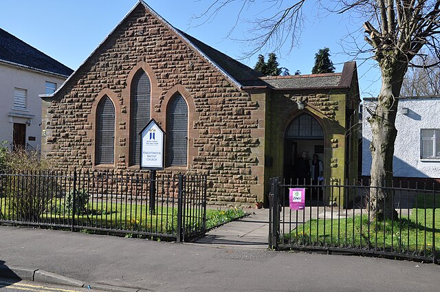 ToberslauntiaHoly well · 549 yd
 TobermichaelHoly well · 587 yd
 CastleCastle, motte · 722 yd
 ChapelChurch · 1142 yd
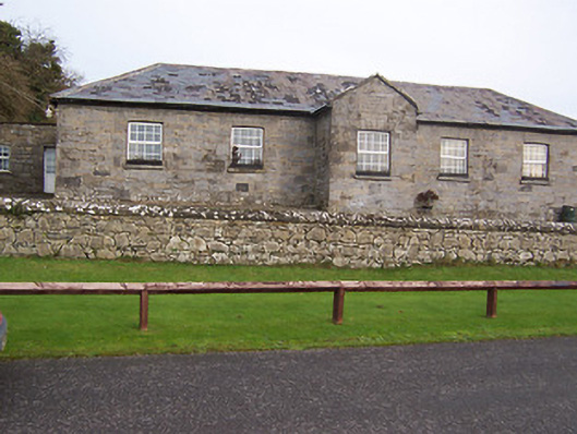 Ballynafid National Schoolschool · 1402 yd
 Scragh Bog Nature ReserveNature reserve · 1.3 mi
 Church IslandIsland · 2.2 mi
 Bridge Memorial (Kenna)Memorial · 2.4 mi
 Long PlantingForest · 2.5 mi
 Knockdrin CastleCastle · 2.6 mi
 Srudarra IslandIslet · 2.9 mi
 Saint Brigid's WellSpring · 3.4 mi