What is recorded here
In tillage. A circular area (int. diam. c. 13m) identified on Google Earth Pro imagery (imagery date 22 June 2018) by Jean-Charles Caillère. The interior presents as very dark in colour and may be the remains of a mound. It is surrounded by a wide band of green, possibly a fosse (Wth c. 4-5m) with a clear break (Wth c. 3m) in the S quadrant. There is a mound (TS082-024----) c. 580m to the E.
See attached photograph:
TS082-107----_01 Image ©2019 CNEW/Airbus: Google Earth Pro satellite imagery (22 June 2018)
Compiled by: Jean Farrelly
Date of upload: 10 December 2019
A possible Neolithic or early Bronze Age burial mound; its significance is currently undetermined due to lack of field investigation.
The monument record does not grant public access. Check the route and ask the landowner before entering private land.
- What survives
- Recorded monument
Places near here
 Enclosure in Kilmolash LowerEnclosure · 995 yd
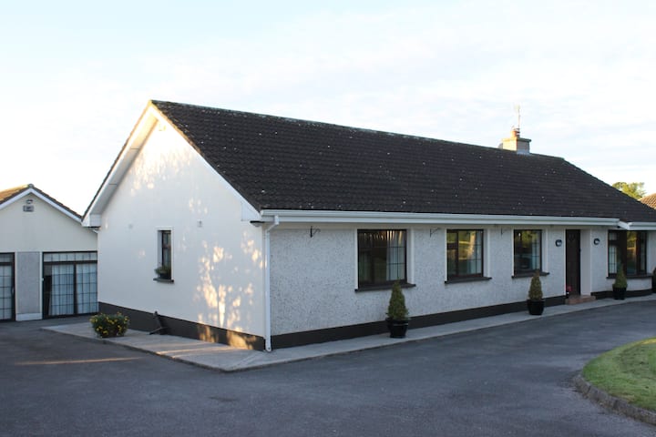 Enclosure in Kilmolash UpperEnclosure · 1100 yd
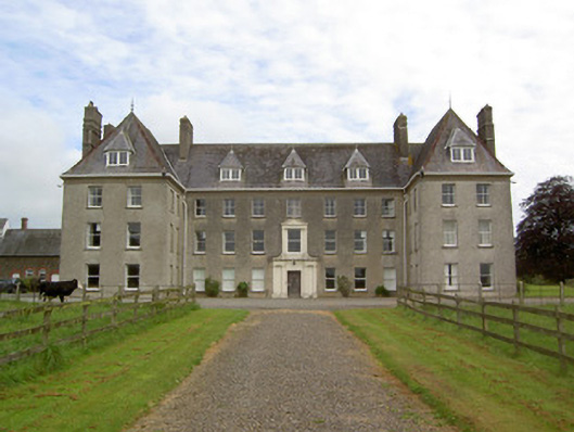 Barne Parkcountry house · 1514 yd
 Bawn in MullaghnoneyBawn · 1.5 mi
 Church in NewchapelChurch · 1.6 mi
 CastleCastle, ringwork · 1.8 mi
 Marlfield Forest Recreation AreaWood · 2.0 mi
 DeerparkWood · 2.1 mi
 Grubb's IslandIslet · 3.9 mi
 Merchant's HouseVisitor information · 3.9 mi
 Streches IslandIsland · 3.9 mi
 Francis HopkinsMemorial · 3.9 mi