
What is recorded here
A circular enclosure (diam. c. 45m), defined by a fosse which is visible as a cropmark on satellite imagery (Apple Maps), identified and reported by Jean-Charles Caillère. On the 1904-05 ed. of the OS 6-inch map the fosse in the SE-S-W sector is indicated, with a small pool (diam. c. 16m) on the line of the fosse in the NW sector. Satellite imagery (Google Earth, imagery date 14 July 2019) shows the line of this fosse and pool under cover of vegetation, however, by the following year (Google Earth, imagery date 26 September 2020) the vegetation had been cleared and any surviving fosse had been in-filled.
See attached imagery:
TS082-113----_01 Apple Maps satellite imagery
TS082-113----_02 Google Earth satellite imagery; imagery date 14 July 2019
TS082-113----_03 Google Earth satellite imagery; imagery date 26 September 2020
Compiled by: Jean Farrelly
Date of upload: 4 July 2023
The monument record does not grant public access. Check the route and ask the landowner before entering private land.
- What survives
- Recorded monument
Places near here
 Enclosure in Woodrooff (derrygrath Par.)Enclosure · 1375 yd
 Man-made underground passage in GarryntempleMan-made underground passage · 1582 yd
 Nicholastown Castle (in ruins)Castle, tower house · 1.3 mi
 Derrygrath Church (in ruins)Church · 1.4 mi
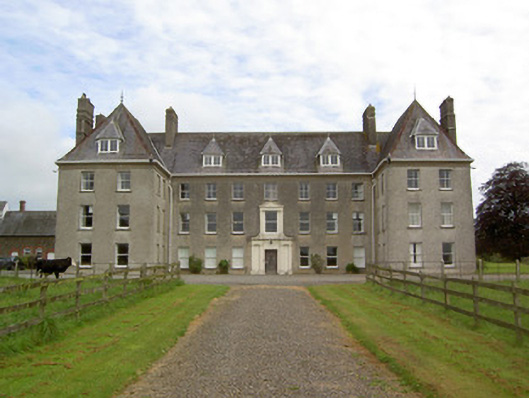 Barne Parkcountry house · 1.4 mi
 Moorstown CastleCastle, tower house · 1.9 mi
 Marlfield Forest Recreation AreaWood · 1.9 mi
 DeerparkWood · 1.9 mi
 Siege of Clonmelsiege · 4.0 mi
 Gairdín Gharraí na LeadhbMemorial · 4.0 mi
 Grubb's IslandIslet · 4.3 mi
 Merchant's HouseVisitor information · 4.3 mi
Other information
Photo: Credit not shown in the picture search · Rights wording not checked; contact us if this picture should be removed