What is recorded here
An ITA Survey of 1945 describes this as one of two large 'moates' in the townland. This 'moat' is described as a being '100ft [H 30m] high and is encircled with irregular depressions. The top is flat and commands a view of the whole countryside. The precise location of this monument is unknown.
Compiled by: Jean Farrelly
Date of upload: 08 October 2012
The monument record does not grant public access. Check the route and ask the landowner before entering private land.
- What survives
- Recorded monument
Places near here
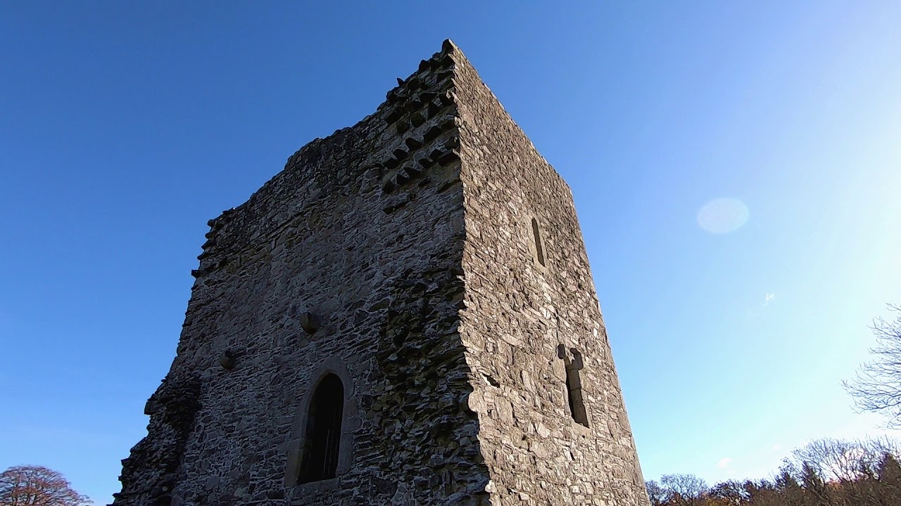 CastleCastle, motte · 472 yd
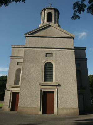 Saint Mary's Catholic Churchchurch/chapel · 557 yd
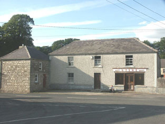 Byrnehouse · 1149 yd
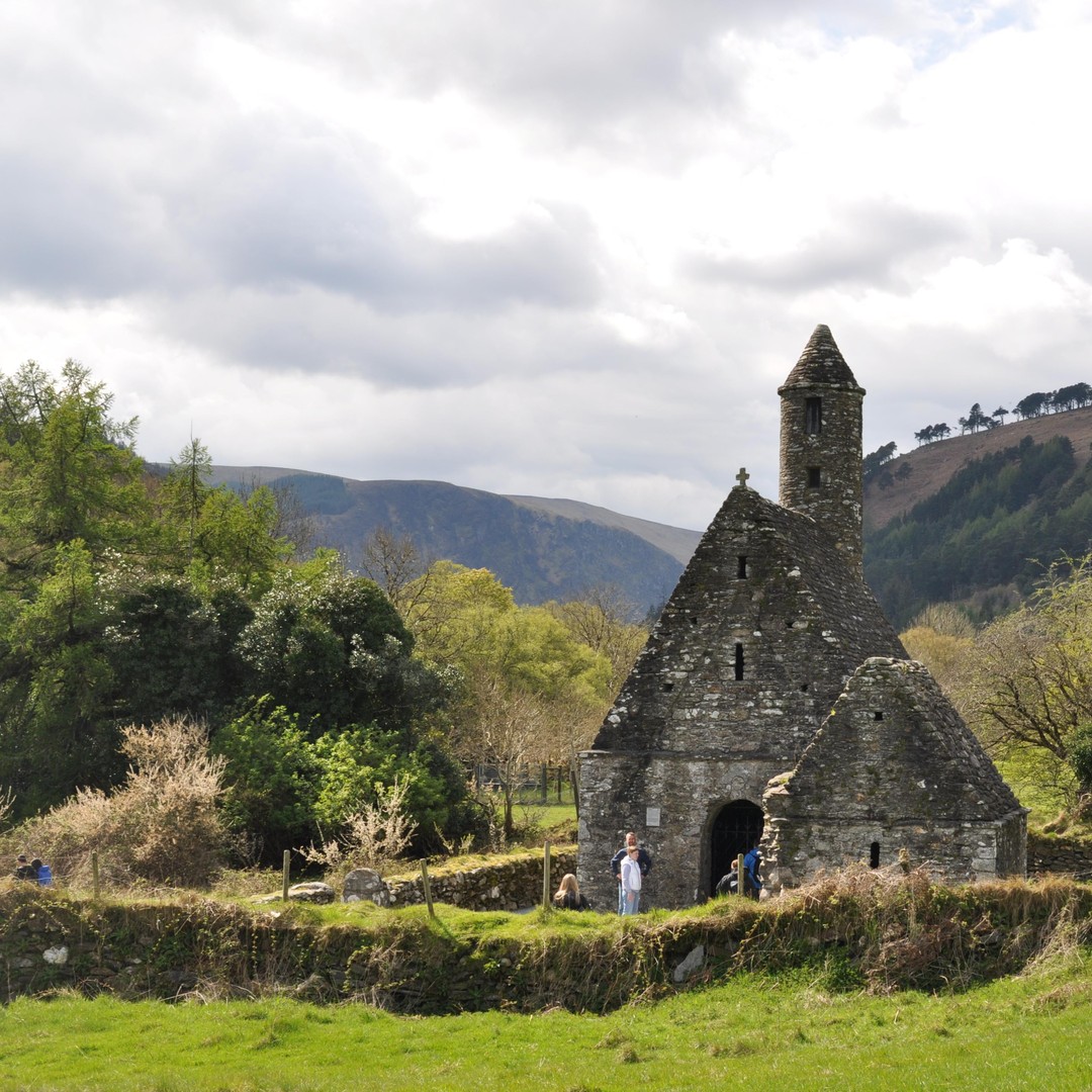 ToberowenHoly well · 1270 yd
 IndicatedFairy fort / earthen ringfort · 1474 yd
 Sessile OakSessile Oak · 1.1 mi
 Chapel (in ruins), GraveyardChurch · 2.3 mi
 SlievereaghMountain / peak · 2.6 mi
 Keadeen MountainMountain / peak · 3.0 mi
 European BeechEuropean Beech · 3.0 mi
 Dwyer McAllister CottageMuseum · 3.5 mi
 Castle in ruinsCastle, unclassified · 3.9 mi