What is recorded here
Kilbrook mound sits fifty metres south of a holy well, a low grass-covered disc barely forty centimetres high. Cattle have long chewed its edges into a shallow bowl, erasing any sharp boundary between made earth and living field. It may have marked a burial, a boundary or a gift to the well, but livestock and rain have reduced that purpose to a gentle swelle in the pasture.
On level improved pasture c. 50m S of a holy well (KD004-024----). A low, grass covered, sub-circular, earthen mound (diams. 8.3m N-S; 8m E-W; H 0.4m) is heavily poached by livestock and has no visible stone in its composition. It is visible on an aerial photograph (Holton 1985, Fig. 39; SMR file).
Compiled by: Gearóid Conroy
Date of upload: 10 June 2011
A Neolithic burial mound, likely dating to the Early to Middle Bronze Age; its proximity to a holy well suggests possible ritual or ceremonial significance.
The monument record does not grant public access. Check the route and ask the landowner before entering private land.
- What survives
- Recorded monument
Places near here
 IndicatedHoly well · 74 yd
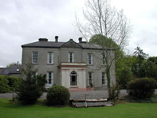 Cappagh Househouse · 457 yd
 Enclosure in Ballynakill (cloncurry Ed)Enclosure · 919 yd
 Old Bog Road made famous by Teresa Bryton 1868-1943Memorial · 992 yd
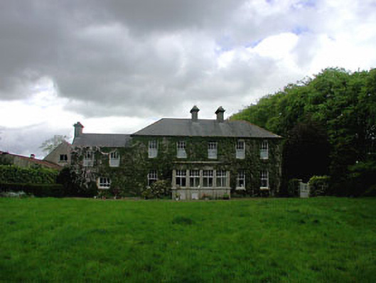 Ballyvoneen Househouse · 1370 yd
 Cloncurry GraveyardHeritage attraction · 1655 yd
 European ashEuropean ash · 1737 yd
 Cloncurry MoatCastle, motte · 1740 yd
 MoatCastle, motte · 2.8 mi
 Kilgar GardensHeritage attraction · 2.9 mi
 Mass was there in Penal TimesMemorial · 4.3 mi
 Wych ElmWych Elm · 4.4 mi