
What is recorded here
A subrectangular raised area (18.8m E-W; 18.6m N-S) defined by scarp (H 0.55m); wide shallow fosse to E and W (D 0.6m). Stones partially visible at NE corner. A castle (CO096-065001-) of which there are no visible remains stood on this mound.
The above description is derived from the published 'Archaeological Inventory of County Cork. Volume 1: West Cork' (Dublin: Stationery Office, 1992). In certain instances the entries have been revised and updated in the light of recent research.
Date of upload/revision: 14 January 2009
A Neolithic passage tomb; its construction dates to the early to middle Neolithic period (c. 3700–3000 BCE). The presence of a fosse and raised platform suggests a ceremonial or funerary function, typical of Neolithic burial monuments in the region.
This remains an important historical record, but the official description says the monument is no longer visible or has been destroyed. The monument record does not grant public access. Check the route and ask the landowner before entering private land.
- What survives
- No visible remains or recorded as destroyed
Places near here
 tunneltunnel · 1097 yd
 Roche's WoodWood · 1124 yd
 Knockbrogan Farmfarm house · 1211 yd
 Fulacht FianFulacht fia · 1244 yd
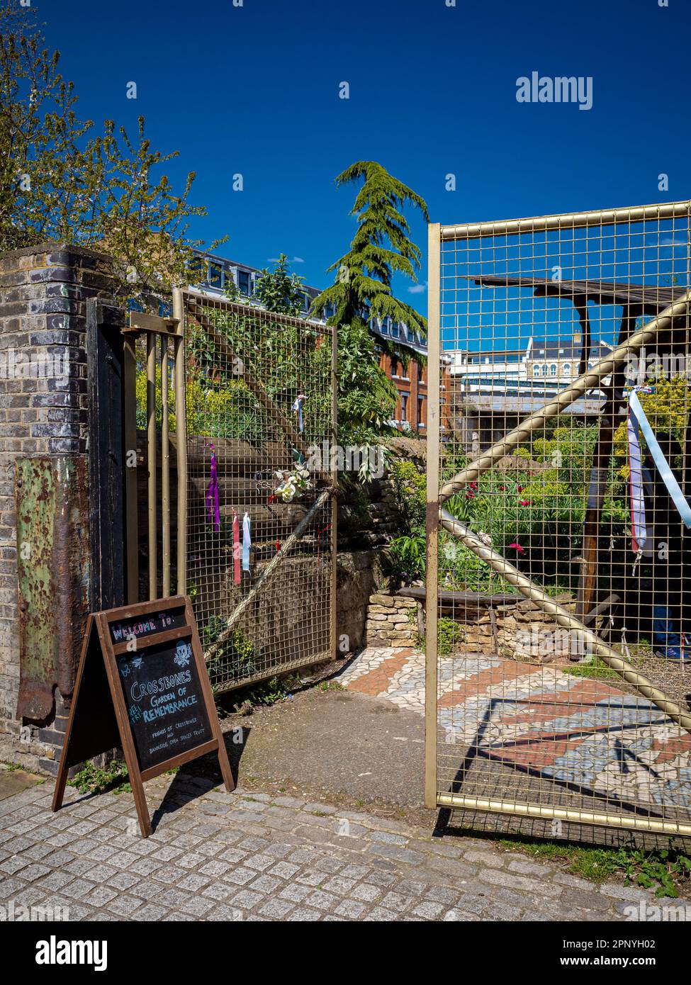 Burial Ground (Disused)Burial ground · 1.1 mi
 Bandon War MemorialMemorial · 1.2 mi
 Carbury's WellSpring · 1.5 mi
 Downdaniel Castle (in Ruins)Castle, tower house · 1.5 mi
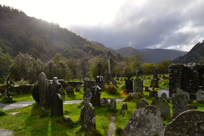 Graveyard in GullyGraveyard · 1.7 mi
 Monterey CypressMonterey Cypress · 1.7 mi
 Innishannon WoodsPicnic place · 2.0 mi
 Carrighnassig Castle (Site of)Castle, unclassified · 3.5 mi
Other information
Photo: Credit not shown in the picture search · Rights wording not checked; contact us if this picture should be removed