What is recorded here
This low grass-covered mound, which is a maximum of 0.6m above surrounding ground level, measures 7.5m northwest-southeast, by 10m southwest-northeast. A line of stones is apparent on its northwestern side, while the rest of the mound is sod covered.
Compiled by: Frank Coyne and Tracy Collins
Date of upload: 30 May 2017
A Neolithic burial mound, likely dating to the early to middle Neolithic period (c. 4000–3000 BCE), representing one of the earliest forms of megalithic funerary monuments in the region. Its presence indicates early human settlement and ritual activity in the area.
The monument record does not grant public access. Check the route and ask the landowner before entering private land.
- What survives
- Recorded monument
Places near here
 Enclosure in Inis Mhic AoibhleáinEnclosure · 152 yd
 Field boundary in Inis Mhic AoibhleáinField boundary · 298 yd
 Inis Mhic UileáinIsland · 366 yd
 Church in Inis Mhic AoibhleáinChurch · 545 yd
 Rinn Chuas an ÉinHeadland · 1032 yd
 Inis na BróIslet · 1405 yd
 Inishtearaght LighthouseLighthouse · 2.9 mi
 An Cró MórMountain / peak · 3.6 mi
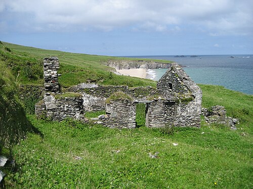 An Blascaod MórIsland · 4.3 mi
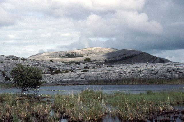 An Mullach RamharMountain / peak · 4.3 mi
 An Dún MórHeadland · 7.1 mi
 Dunmore HeadViewpoint · 7.1 mi