What is recorded here
Located on a gentle S-facing slope, it is not depicted on any map. This is a D-shaped grass-covered mound (dims 12m WNW-ESE; 7m; NNE-SSW; H 1m at N to 2m at S), which is truncated at N by WNW-ESE road wall and there is a small grass-covered platform (dims 7m N-S; 4m E-W; H c. 0.5m) attached on the E side.
The above description is derived from the published 'Archaeological Inventory of County Meath' (Dublin: Stationery Office, 1987). In certain instances the entries have been revised and updated in the light of recent research.
Compiled by: Michael Moore
Date of revision: 27 February 2019
The monument record does not grant public access. Check the route and ask the landowner before entering private land.
- What survives
- Recorded monument
Places near here
 Causey FarmHeritage attraction · 86 yd
 FarmaphobiaHeritage attraction · 90 yd
 Cross (part of)Cross, High cross · 293 yd
 Enclosure in GirleyEnclosure · 308 yd
 Old ChurchChurch · 339 yd
 Catholic Church of the Immaculate Conceptionchurch/chapel · 360 yd
 CastleCastle, motte · 697 yd
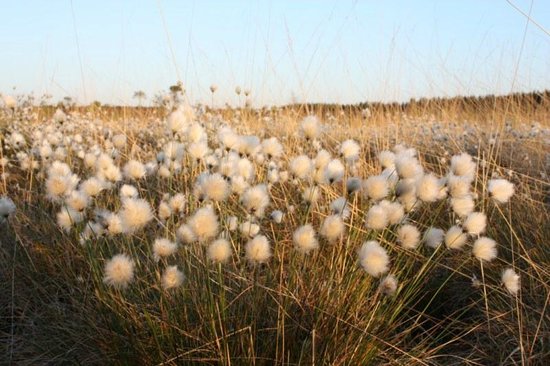 Native Woodland Trust: Girley Bog ReserveWood · 839 yd
 Girley WoodWood · 1211 yd
 BoglandMemorial · 1262 yd
 CloncatMountain / peak · 1.7 mi
 Drewstown LittleMountain / peak · 1.7 mi