
What is recorded here
Situated on a rise in an undulating landscape. A church at Girley is listed in the ecclesiastical taxation (1302-06) of Pope Nicholas IV (Cal. doc. Ire. 5, 260). Ussher (1622) describes the church and chancel as ruined (Erlington 1847-64, 1, lxxxix). According to Dopping’s Visitation (1682-5) the church, dedicated to St. Margaret, was in ruins and the graveyard was not enclosed (Ellison 1973, 9). The parish church of Girley is withIn a rectangular graveyard (dims c. 65m ENE-WSW; c. 35-40m NNW-SSE) defined by masonry walls. Only part of the W wall with a wide entrance and buttresses survives. The remains are probably 18th century in date. Some cut stone from windows of a late medieval church (ME023-015003-) are incorporated into the graveyard wall near the entrance. Part of a high cross (ME023-022----) is recorded from the graveyard.
The above description is derived from the published 'Archaeological Inventory of County Meath' (Dublin: Stationery Office, 1987), No. 1408. In this instance the entry has been revised and updated in the light of recent research.
Revised by: Paul Walsh/Michael Moore
Date of upload: 16 December 2014
Old Church, Girley was likely built in the medieval period, with a recorded mention in the ecclesiastical taxation of 1302–06, and is thought to have been dedicated to a local saint, though the dedication is not specified. Its ruin by the early 17th century, as described by Ussher, reflects the impact of the Reformation and subsequent neglect of many Irish churches.
The monument record does not grant public access. Check the route and ask the landowner before entering private land.
- What survives
- Recorded monument
Places near here
 Cross (part of)Cross, High cross · 56 yd
 St. Margaret's Church Girley (C of I) site ofArchaeological place · 152 yd
 Causey FarmHeritage attraction · 276 yd
 FarmaphobiaHeritage attraction · 300 yd
 CastleCastle, motte · 368 yd
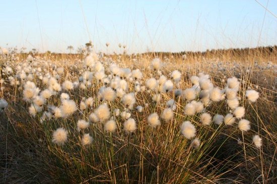 Native Woodland Trust: Girley Bog ReserveWood · 601 yd
 Catholic Church of the Immaculate Conceptionchurch/chapel · 696 yd
 Girley WoodWood · 872 yd
 BoglandMemorial · 1207 yd
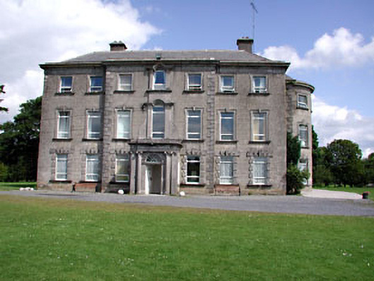 Drewstown Housecountry house · 1.4 mi
 Drewstown LittleMountain / peak · 1.5 mi
 CloncatMountain / peak · 1.5 mi
Other information
Photo: Credit not shown in the picture search · Rights wording not checked; contact us if this picture should be removed