What is recorded here
A circular earthwork or possible mound is shown on an undated manuscript map (NLI MS. 21.F.35 (39-82) map 55) held in the National Library of Ireland, but is not recorded on any edition of the OS 6-inch map. In 2001, archaeological test-trenching (Licence no. 01E0324: www.excavations.ie) along the possible E and S edges and across its central area failed to uncover any evidence of an archaeological monument.
Compiled by: Gearóid Conroy
Date of upload: 10 June 2011
The monument record does not grant public access. Check the route and ask the landowner before entering private land.
- What survives
- Recorded monument
Places near here
 Catholic Church of the Immaculate Conceptionchurch/chapel · 325 yd
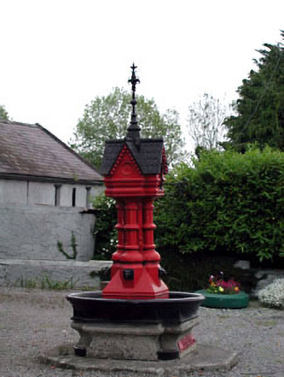 Tickell Memorial Fountainfountain · 348 yd
 MoatEnclosure · 1574 yd
 IndicatedEnclosure · 1689 yd
 CastleCastle, unclassified · 1721 yd
 Rathmore MoatCastle, motte and bailey · 1.4 mi
 European YewEuropean Yew · 1.8 mi
 Deer Park PlantationForest · 2.0 mi
 The Square RenewalMemorial · 2.9 mi
 Dame Ninette de ValoisMemorial · 2.9 mi
 Cupidstown HillMountain / peak · 4.0 mi
 Saggart HillMountain / peak · 5.3 mi