What is recorded here
Discovered in the course of a DAFM archaeological field inspection in advance of a proposed afforestation project. A possible archaeological monument – a circular feature - had been identified at the location on DigitalGlobe/Bing aerial imagery (2012). Situated on a slight terrace in a steep, W-facing, pasture slope in the SW-corner of a field with mature hedge-rowed boundaries c. 9m to the W and c. 10m to the S.
A low (av. H 1.7m) grass-covered, circular (base diam. c. 20m N-S) mound is steep-sided and round-topped (surface diam. c. 5m). The break of slope at the base is sharp whilst the break of slope at the top is gentle.
Significant prehistoric activity is recorded in this general area: a Linkardstown Burial (WI021-057----) c. 155m to the NW and three Cists (WI021-087----, WI021-088---- and WI021-089----) c. 530m to the N and NW. Consequently, this mound is likely to be prehistoric as well, and possibly containing a Neolithic Linkardstown Burial?
See attached images:
• WI021-091----_1 Mound viewed from W. Séamus Ó Murchú
• WI021-091----_2 Mound viewed from N. Séamus Ó Murchú
Compiled by: Gearóid Conroy
Date of upload: 14-November 2022
The monument record does not grant public access. Check the route and ask the landowner before entering private land.
- What survives
- Recorded monument
Places near here
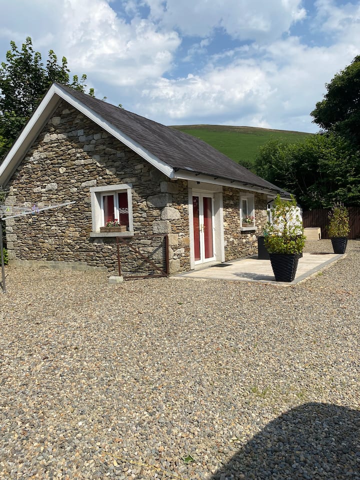 Enclosure in Ballintruer MoreEnclosure · 578 yd
 Bawn in Ballintruer BegBawn · 810 yd
 Enclosure in Ballintruer BegEnclosure · 817 yd
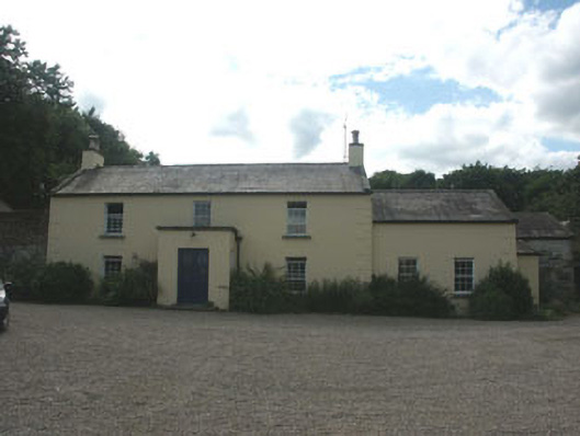 Mount Slaneyfarm house · 955 yd
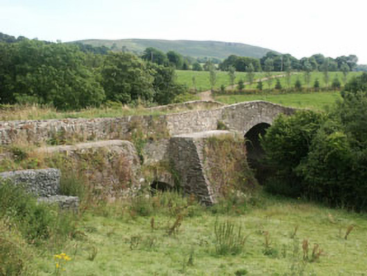 George's Bridgebridge · 1256 yd
 Site of CastleCastle, unclassified · 1.1 mi
 Saint Brigit's Mass StoneNamed rock · 1.7 mi
 Saint Brigit's ChairNamed rock · 1.7 mi
 English hollyEnglish holly · 1.9 mi
 Sam McAllistair GraveMemorial · 2.1 mi
 Ballyhook HillMountain / peak · 2.2 mi
 Keadeen MountainMountain / peak · 3.2 mi