
What is recorded here
Situated on level ground at the foot of a steep W-facing slope with gentle slopes to the W and N. An oval enclosure with a level interior (int. dims. 44m E-W; 33.5m N-S) defined by a flat-bottomed fosse (Wth 5.8m; D 0.7m). A tower house (WI021-028----) and possible bawn (WI021-028001-) lie in the S quadrant. There is no evidence for a causeway or bank but there are traces of an entrance near the possible doorway in the S wall of the possible bawn.
Compiled by: Mary Tunney
Date of upload: 5 December 2012
A local fairy fort (ringfort/rath); wider significance not recorded.
The monument record does not grant public access. Check the route and ask the landowner before entering private land.
- What survives
- Recorded monument
Places near here
 Bawn in Ballintruer BegBawn · 14 yd
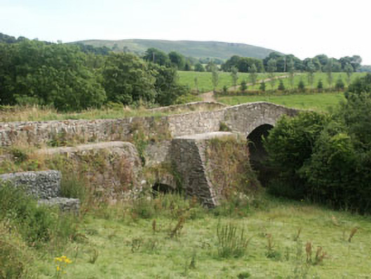 George's Bridgebridge · 461 yd
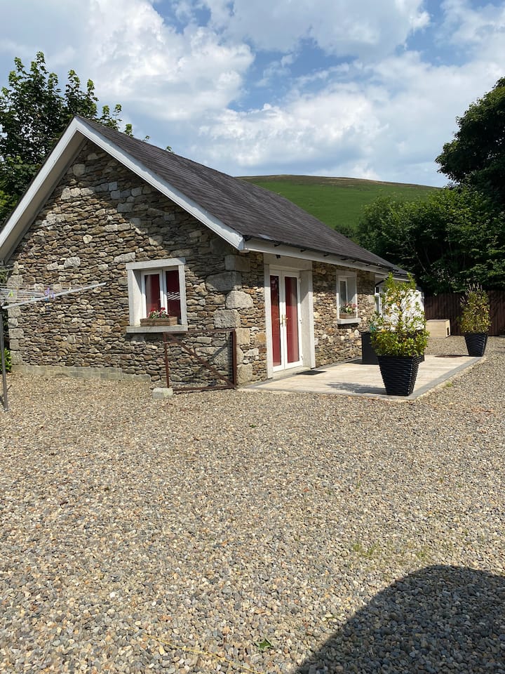 Enclosure in Ballintruer MoreEnclosure · 489 yd
 IndicatedEnclosure · 600 yd
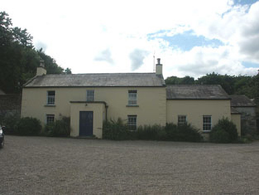 Mount Slaneyfarm house · 610 yd
 CastlerudderyCastle, unclassified · 1289 yd
 English hollyEnglish holly · 1.5 mi
 Ballyhook HillMountain / peak · 1.9 mi
 Saint Brigit's Mass StoneNamed rock · 2.2 mi
 Saint Brigit's ChairNamed rock · 2.2 mi
 Sam McAllistair GraveMemorial · 2.6 mi
 Pedunculate OakPedunculate Oak · 3.4 mi
Other information
Photo: Credit not shown in the picture search · Rights wording not checked; contact us if this picture should be removed