What is recorded here
Marked only on 1925 ed. of the OS 6-inch map as a circular mound (diam. of base c. 35m) and situated on a level landscape between quarries c. 20m to the W and c. 40m to the S. It is described locally as being c. 6m in height. It was removed c. 1970, and was probably a spoil mound from the quarries. Drinagh church (WX042-013001-) is c. 70m to the WNW.
The above description is derived from the published 'Archaeological Inventory of County Wexford' (Dublin: Stationery Office, 1996). In certain instances the entries have been revised and updated in the light of recent research.
Compiled by: Michael Moore
Date of upload/revision: 27 May, 2013
Neolithic passage tomb; dates to the earlier part of the Neolithic period in Ireland (c. 3700–2500 BCE). Its size and location suggest it may have been a significant communal burial or ceremonial site in a now largely altered landscape.
The monument record does not grant public access. Check the route and ask the landowner before entering private land.
- What survives
- Recorded monument
Places near here
 graveyard/cemeterygraveyard/cemetery · 108 yd
 Hermitagefarm house · 306 yd
 Site of CastleCastle, unclassified · 972 yd
 St. Helens WellHoly well · 1219 yd
 Fulacht fia in StrandfieldFulacht fia · 1561 yd
 16th Irish DivisionMemorial · 2.2 mi
 Irish Agricultural MuseumMuseum · 2.3 mi
 Johnstown Castle Visitor CentreHeritage attraction · 2.3 mi
 American SweetgumAmerican Sweetgum · 2.3 mi
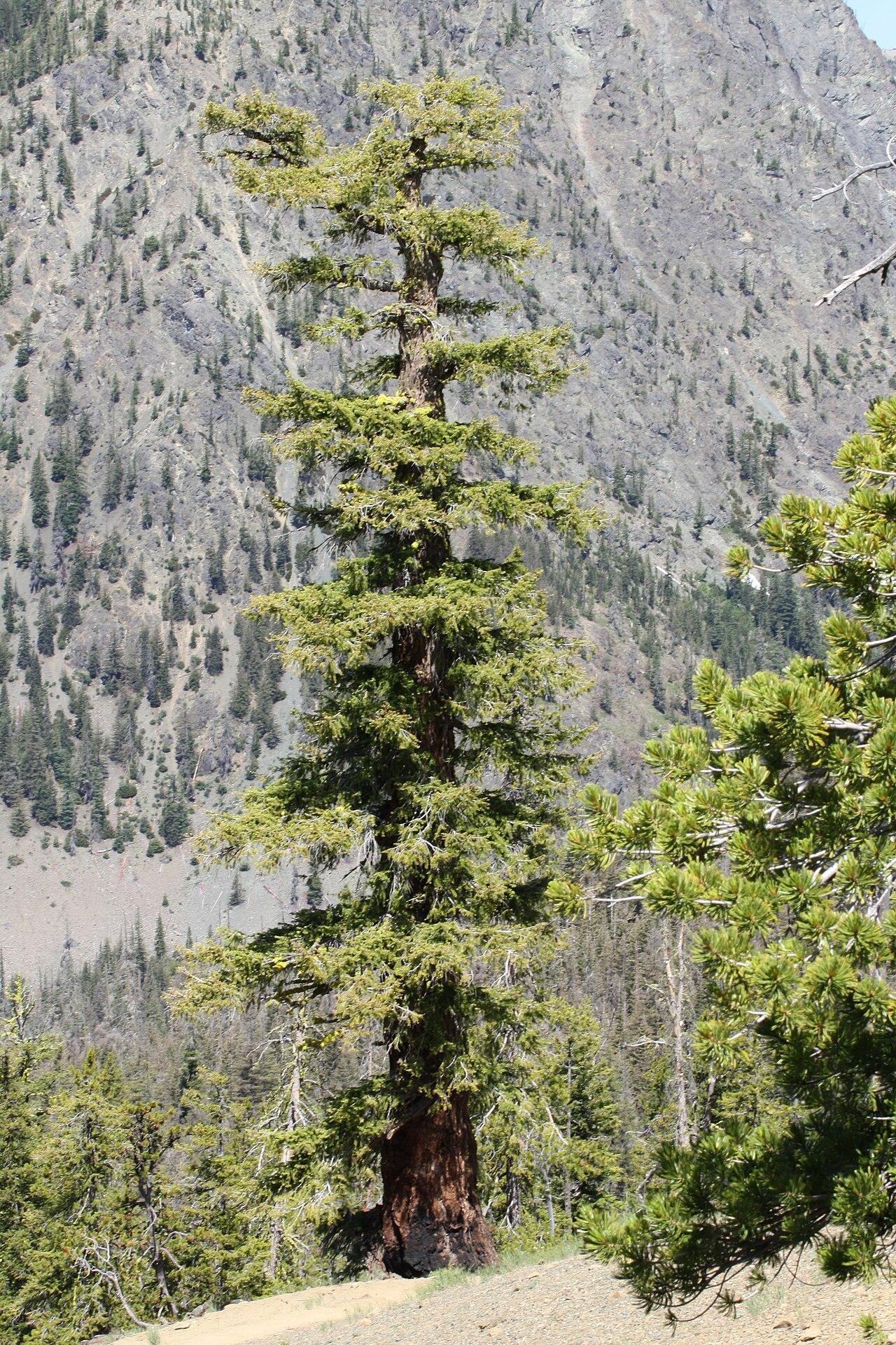 Douglas-firDouglas-fir · 2.3 mi
 Halla KennyMemorial · 2.5 mi
 Castle (in ruinis)Castle, tower house · 2.6 mi