
What is recorded here
From the National Monuments Service (Archaeological Survey of Ireland) record MA038-149
Places near here
Photo credits
- Maker not stated on source page, de.wikipedia.org
- Maker not stated on source page, www.flickr.com
- Maker not stated on source page, www.mayo-ireland.ie
- Maker not stated on source page, nl.pinterest.com
- Maker not stated on source page, en.wikipedia.org
- Maker not stated on source page, www.tonyoneill.org
- Maker not stated on source page, www.lonelyplanet.com
- David Farrell Photography / Western People, www.westernpeople.ie
- David Farrell Photography, as credited in Western People caption, www.westernpeople.ie
- Colin Park, Geograph · CC BY-SA 2.0
- National Inventory of Architectural Heritage
- Maker not stated on source page, www.dreamstime.com
 Court tomb in BallyduffyCourt tomb · 1751 yd
Explorer Tom Court tomb in Ballyduffy has a ghost who is too lazy to haunt the place properly. He just naps in the stones when the…
 Church in Killeen (tirawley By., Crossmolina Par.)Church · 1.0 mi
Explorer Tom Church in Killeen is missing, like my keys. A goat once ruled this place according to local legend, so expect the horns…
 Ballyduffy CastleArchaeological place · 1.0 mi
Explorer Tom Ballyduffy Castle in County Mayo is an archaeological place that sounds like a dog's name. I bet 'Ballyduffy' actually…
 Megalithic tomb in CreevyMegalithic tomb · 1.2 mi
Explorer Tom Megalithic tomb in Creevy has a family tree that is mostly made up by me right now because nobody else will answer for…
 Holy well in Carrowgarve SouthHoly well · 2.6 mi
Explorer Tom Holy well in Carrowgarve South took forty cups of tea to build, according to the local legend that is definitely true.…
 Wedge tomb in Carrowgarve SouthWedge tomb · 2.7 mi
Explorer Tom Wedge tomb in Carrowgarve South claims it took exactly four hundred cups of tea to build, which is either a lie or a…
 Standing stone in Carrowkilleen (tirawley By.)Standing stone · 3.2 mi
Explorer Tom Standing stone in Carrowkilleen has a curse that only hits people who don’t wave to the cows. It’s on a hilltop, so you…
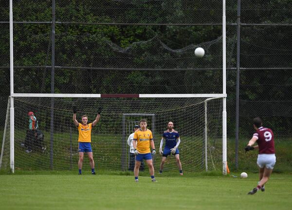 St. Tiernan's Park, Crossmolina Deel RoversGAA ground · 3.7 mi
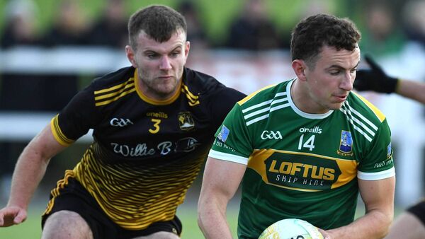 Padraig Garrett Memorial Park, Bofeenaun, Lahardane MacHales GAAGAA ground · 5.0 mi
 KnockaffertaghMountain / peak · 6.6 mi
Explorer Tom Knockaffertagh’s least favourite visitor is definitely anyone who suggests taking a selfie on top because it ruins the…
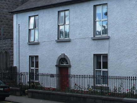 presbytery/parochial/curate's house19 mi
Explorer Tom Presbytery in Cahernamart made a New Year's resolution to stop leaking water into the basement, but it failed miserably…
 MacPhilbins Castle (in ruins)Castle, tower house · 20 mi
Explorer Tom MacPhilbins Castle would win a county fair by simply existing and looking impressive while doing nothing. It’s a tower…
More archaeology and monuments in County Mayo · All of County Mayo

What do you know about this place?Tap to add a comment or ask a question