What is recorded here
The official Northern Ireland record identifies this as MOUND. Recorded period: BRONZE AGE; PREHISTORIC. Recorded protection: Scheduled. The official map point was placed at the centre of the recorded archaeological site from the source map reference.
Bronze Age burial mound, dating to the prehistoric period. Its scheduled protection status indicates archaeological importance, though specific details on construction or finds remain unrecorded.
The monument record does not grant public access. Check the route and ask the landowner before entering private land.
- What survives
- Recorded monument
Places near here
 Castle Saundersoncountry house · 733 yd
 Castle Saunderson DemesneForest · 1185 yd
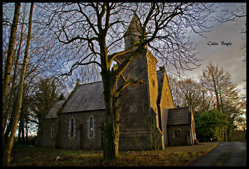 Quivvy WoodWood · 1536 yd
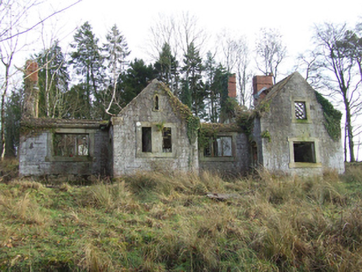 Lanesborough Lodgeschool · 1647 yd
 HOLY WELL: TOBERAKILL in KiltoberHOLY WELL: TOBERAKILL · 1.4 mi
 ClonandraMountain / peak · 1.7 mi
 HOLY WELL in DrummullyHOLY WELL · 1.8 mi
 Bawn in KillyfanaBawn · 2.0 mi
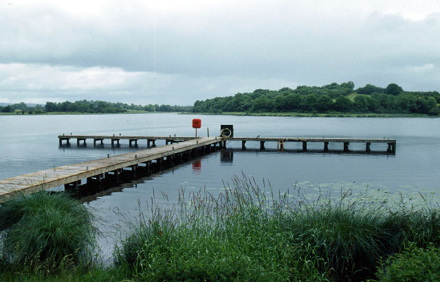 Galloon IslandIsland · 2.4 mi
 Grilly Castle in RuinsCastle, unclassified · 2.5 mi
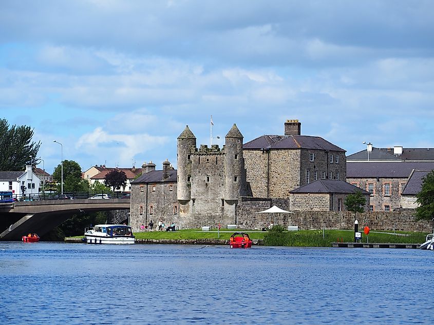 Small IslandIslet · 2.6 mi
 DrumakeenanMountain / peak · 2.9 mi