What is recorded here
Drumcrin holds a post-medieval church and graveyard where the boundary between living memory and dead silence becomes paper thin. The stones have watched Fermanagh weather for centuries, catching rain and breath from everyone who stood beside them. They did not leave instructions, but they left shape: a reason the ground still feels occupied long after the last footprint faded.
The official Northern Ireland record identifies this as CHURCH & GRAVEYARD. Recorded period: POST-MED. The official map point was placed at the centre of the recorded archaeological site from the source map reference.
The monument record does not grant public access. Check the route and ask the landowner before entering private land.
- What survives
- Recorded monument
Places near here
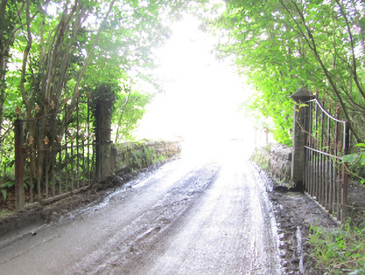 Castle Saundersonbridge · 1523 yd
 HOLY WELL: TOBERAKILL in KiltoberHOLY WELL: TOBERAKILL · 1670 yd
 Castle Saunderson DemesneForest · 1.1 mi
 HOLY WELL in DrummullyHOLY WELL · 1.2 mi
 Saint Mary's Church (Drummully)church/chapel · 1.3 mi
 ClonandraMountain / peak · 1.3 mi
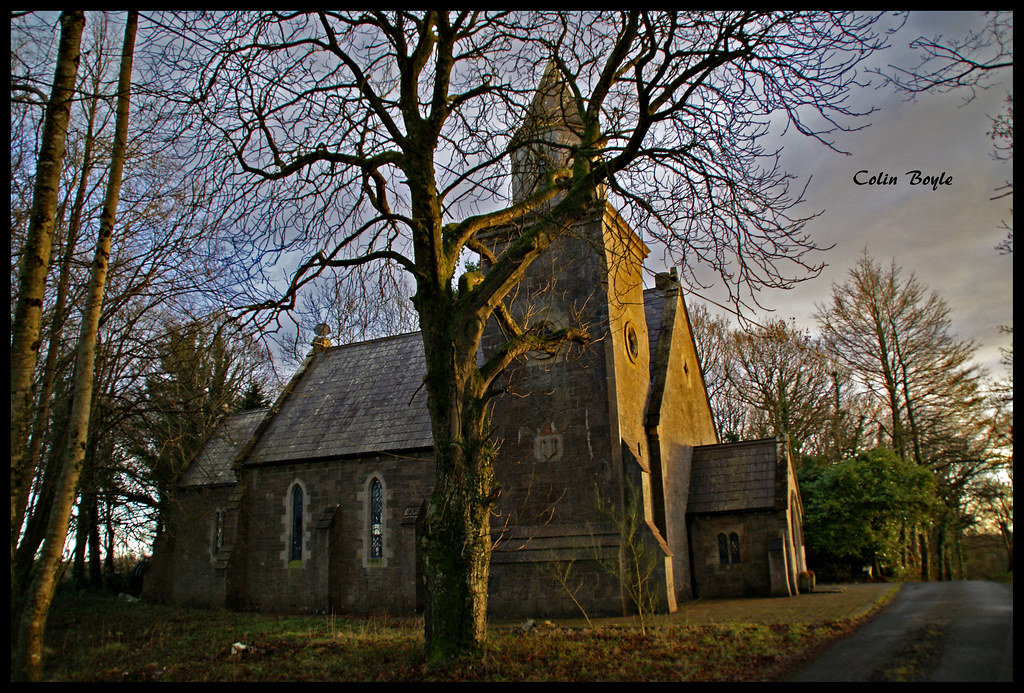 Quivvy WoodWood · 1.5 mi
 Bawn in KillyfanaBawn · 2.2 mi
 DrumakeenanMountain / peak · 2.8 mi
 Grilly Castle in RuinsCastle, unclassified · 3.2 mi
 Estate Trail, CromWalking route · 4.3 mi
 Bomb Victims MemorialMemorial · 4.6 mi