What is recorded here
A small rectangular earthwork is located just outside the outer bank of Derroon rath (SL033-046001-) at NNE. This earthwork consists of a raised rectangular area (4m N-S; 4.7m E-W) defined by an earth and stone bank (int. H 0.3m; ext. H 0.45m). The interior is slightly concave in profile and clear of overgrowth. On the SE side of this earthwork, outside the base of the bank at the SE corner, a shallow drain (D 0.3m) with an earthen bank (H 0.45m) on its N side (both orientated E-W) has been dug extending E to a field boundary. Roughly 1.5m to the W of the rectangular earthwork is a series of low earth and stone mounds (diam. 1.5-2.5m; H 0.8-1m). A low earthen bank (ext. H 0.25m) which runs parallel to the W edge of the rectangular earthwork defines the limit of these mounds on the E side.
Compiled by: Archaeological Survey Unit, UCC with revisions by Patrick F. O'Donovan and Paul Walsh
Date of upload: 20 June 2011
The monument record does not grant public access. Check the route and ask the landowner before entering private land.
- What survives
- Recorded monument
Places near here
 RathdoonyCastle, motte · 1171 yd
 Enclosure in Rathdoony BegEnclosure · 1304 yd
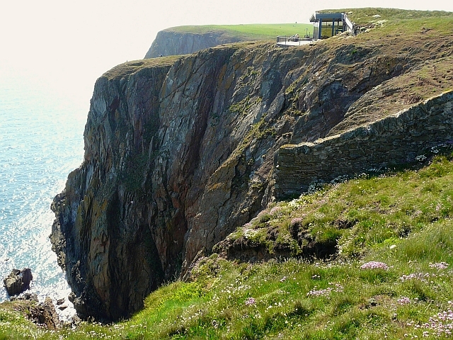 Cliff-edge fort in Carrigans UpperCliff-edge fort · 1357 yd
 KilnKiln, lime · 1552 yd
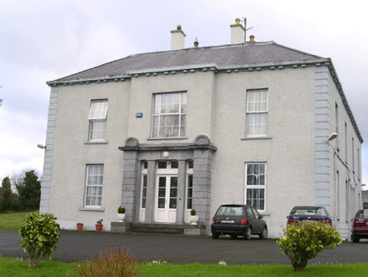 Earlsfieldhouse · 1593 yd
 Brother WalfridMemorial · 1.1 mi
 Ballymote CastleCastle · 1.2 mi
 ElderElder · 2.4 mi
 European ashEuropean ash · 2.9 mi
 James MorrisonMemorial · 3.9 mi
 Caves of KeshCave · 4.5 mi
 School CaveCave · 4.6 mi