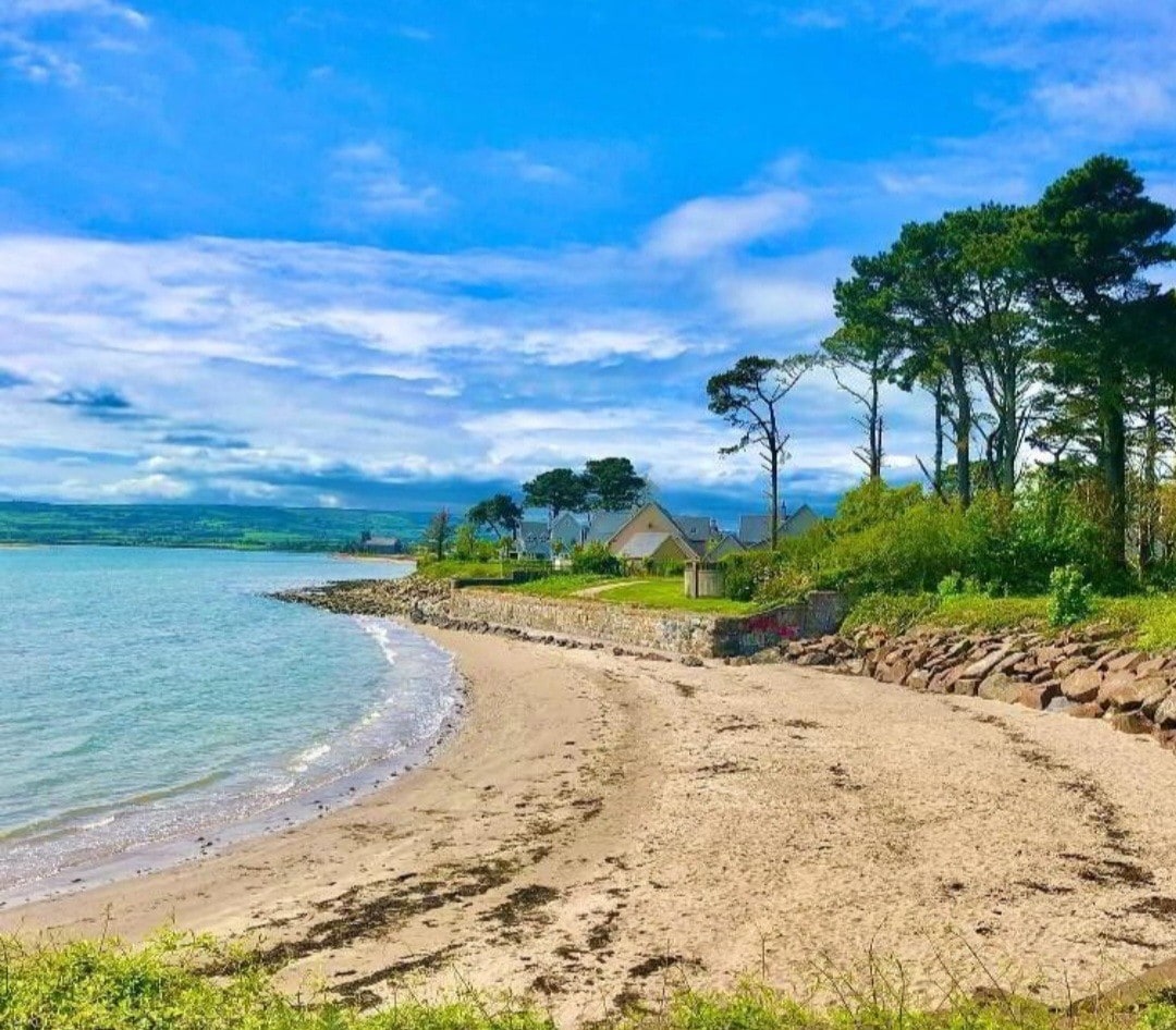
What is recorded here
Marked only on the 1927 ed. of the OS 6-inch map, and situated on a natural rise immediately adjacent to an old NE-SW railway line, which is just to the NW. This is a flat-topped earthen mound (diam. of top 12m; diam. of base c. 33m; H 3m at SW to 4.8m at NE). It was removed in 1995.
The above description is derived from the published 'Archaeological Inventory of County Waterford' (Dublin: Stationery Office, 1999). In certain instances the entries have been revised and updated in the light of recent research.
Date of upload: 23 December 2008
Neolithic flat-topped earthen mound; likely dates to the 4th–3rd millennium BCE. Its location near a former railway line and its survival on early maps suggest it may have been a significant ceremonial or funerary site, though its exact function remains unclear.
The monument record does not grant public access. Check the route and ask the landowner before entering private land.
- What survives
- Recorded monument
Places near here
 RoadRoad, road/trackway · 355 yd
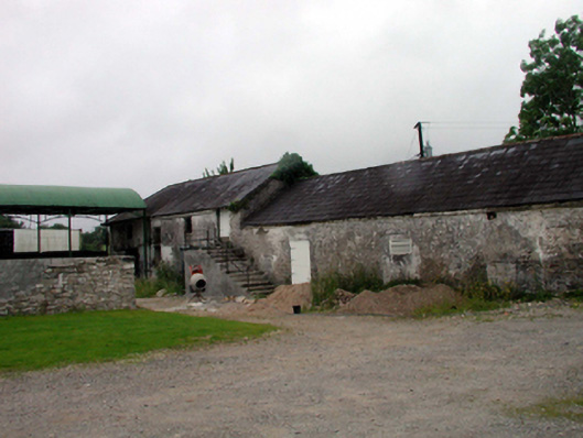 outbuildingoutbuilding · 474 yd
 Embanked enclosureFairy fort / earthen ringfort · 562 yd
 LismoreCastle, motte and bailey · 670 yd
 Mound in Ballysaggart Beg (east)Mound · 1240 yd
 Lady Louisa's WalkWalking route · 1475 yd
 Ballyrafter WoodForest · 1614 yd
 European YewEuropean Yew · 1733 yd
 Ambrose Power MemorialMemorial · 1.0 mi
 Cottage IslandIslet · 1.3 mi
 (Site of) CastleCastle, tower house · 2.6 mi
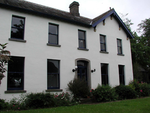 Head Viewhouse · 762 yd
Other information
Photo: Credit not shown in the picture search · Rights wording not checked; contact us if this picture should be removed