
What is recorded here
Marked only on the 1927 ed. of the OS 6-inch map, and located on high ground overlooking the floodplain of the W-E Blackwater River, c. 500m to the N. This is a flat-topped, grass-covered earthen mound (diam. at top 8.5m; diam. at base 18m; H 1.6-2.2m). It has no visible fosse, kerb or outer bank, and has been removed since 1991.
The above description is derived from the published 'Archaeological Inventory of County Waterford' (Dublin: Stationery Office, 1999). In certain instances the entries have been revised and updated in the light of recent research.
Date of upload: 23 December 2008
This remains an important historical record, but the official description says the monument is no longer visible or has been destroyed. The monument record does not grant public access. Check the route and ask the landowner before entering private land.
- What survives
- No visible remains or recorded as destroyed
Places near here
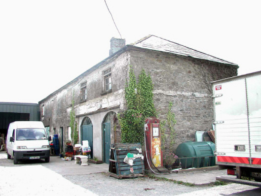 The Halloutbuilding · 79 yd
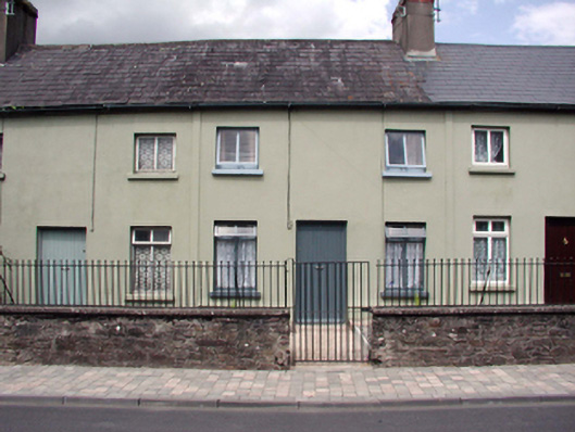 almshousealmshouse · 104 yd
 Lady Louisa's WalkWalking route · 351 yd
 CathedralCathedral · 438 yd
 St. Carthaghs WellHoly well · 485 yd
 European YewEuropean Yew · 509 yd
 Ambrose Power MemorialMemorial · 522 yd
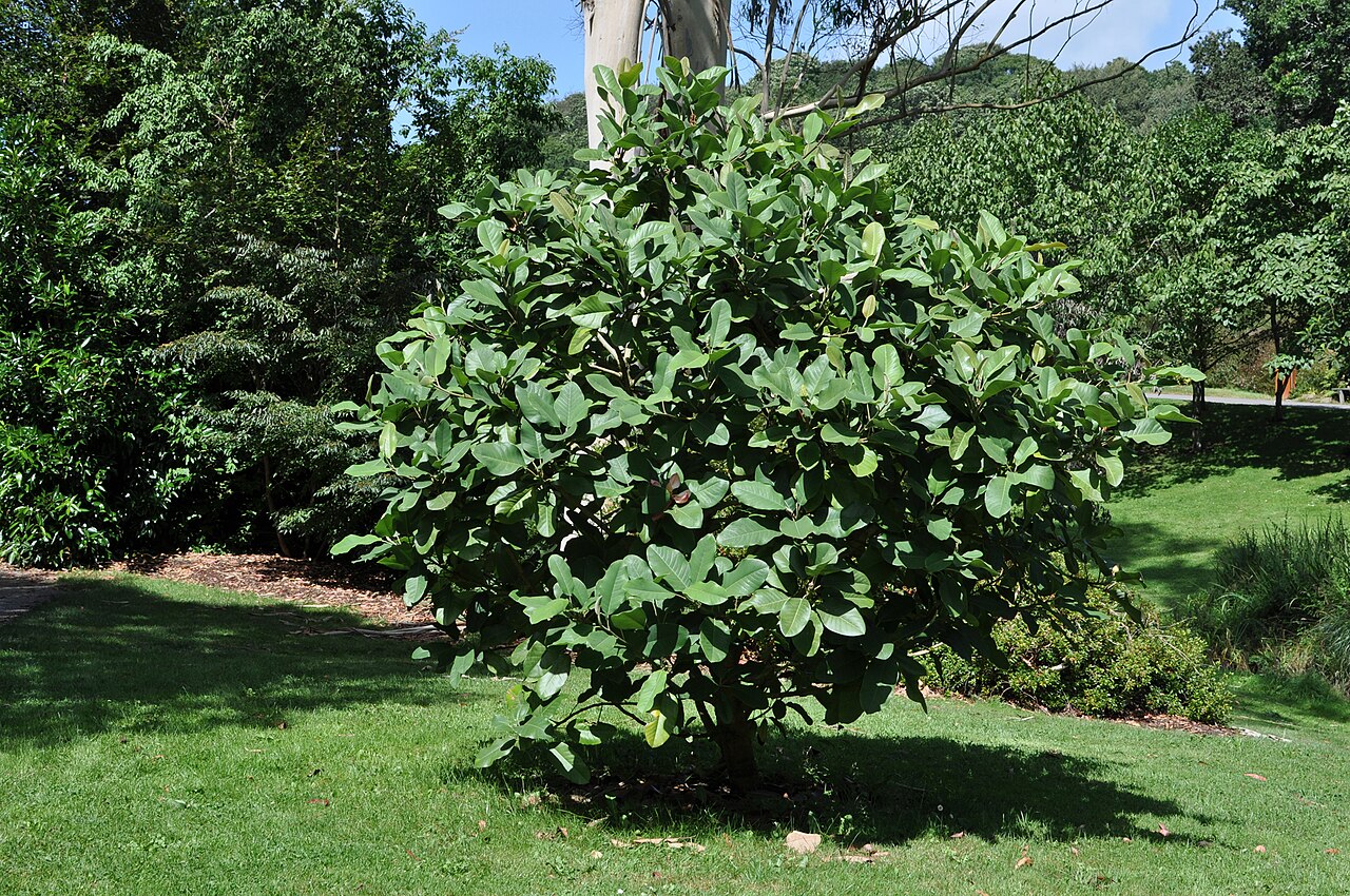 Delavay's magnoliaDelavay's magnolia · 610 yd
 Cottage IslandIslet · 1069 yd
 LismoreMemorial · 1327 yd
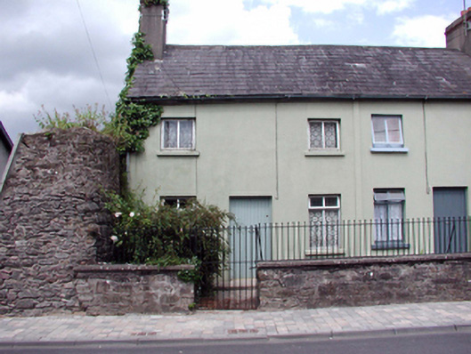 Bloomswoodalmshouse · 107 yd
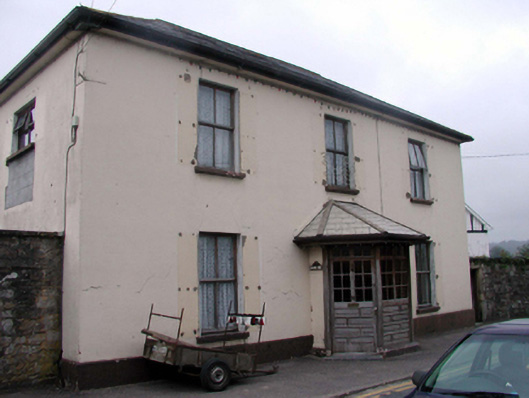 The Lodgehouse · 142 yd
Other information
Photo: Credit not shown in the picture search · Rights wording not checked; contact us if this picture should be removed