What is recorded here
Situated on level ground at the base of a high natural scarp, overlooking a river valley to the NE. The Clasher River runs c. 2m NE of the site. An irregular, roughly circular enclosure (TN039-012) in a level area between the river and the cliff-edge. The enclosure is defined by a denuded, moss-covered wall of earth and stone construction. There is a heavy growth of scrub in the NW quadrant. The site was described as 'disused keel' or children's burial ground in 1910 (Crawford 1910, 51), however, no grave-markers were apparent. A low linear mound in the SW quadrant, running NW-SE (L 6.1m x W 1.3m; H 0.4m), is constructed of earth and stone. It appears to be a section of a low field boundary and is not a megalithic structure.
The above description is derived from 'The Archaeological Inventory of County Tipperary. Vol. 1 - North Tipperary' compiled by Jean Farrelly and Caimin O'Brien (Dublin: Stationery Office, 2002). In certain instances the entries have been revised and updated in the light of recent research.
Date of upload/revision: 22 September 2008
The monument record does not grant public access. Check the route and ask the landowner before entering private land.
- What survives
- Recorded monument
Places near here
 Enclosure in CoonmoreEnclosure · 1215 yd
 Anglesey Bridgebridge · 1579 yd
 Gowlagh Bridgebridge · 1.1 mi
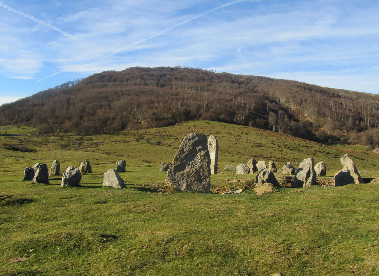 Cromlech (Site of)Megalithic structure · 1.1 mi
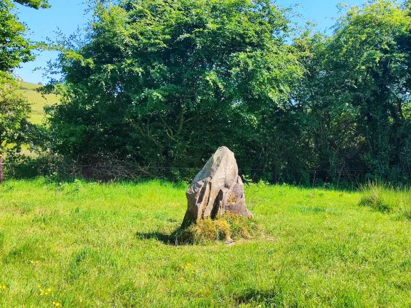 MauherslieveMountain / peak · 2.2 mi
 TooreenMountain / peak · 2.6 mi
 Ballyhourigan WoodsForest · 7.0 mi
 Castle WellerCastle · 7.6 mi
 Tower (in Ruins)Bawn · 7.6 mi
 Sliev Felim WayVisitor information · 9.2 mi
 Killavalla WoodForest · 9.4 mi
 Graveyard in AbingtonGraveyard · 10 mi