What is recorded here
Situated on a rise, in low-lying, wet pasture. Ringfort (WM031-006----) lies c. 72m to E. Not depicted on the 1837 ed. OS 6-inch map, however a limekiln is depicted in this location on this map. Depicted on the 1910 ed. OS 25-inch map as a small circular-shaped earthwork which could be the remains of a levelled limekiln. Monument described in 1973 as a very small roughly circular-shaped area (diam. 20m) defined by a low scarp. The interior rises gently from the perimeter towards the centre, where a number of large boulders project from the surface. There is no apparent entrance. Monument is visible today as a tree-planted earthwork on Digital Globe aerial photography.
Compiled by Alison McQueen, Vera Rahilly and Caimin O’Brien.
Date of upload: 12 November 2019
The monument record does not grant public access. Check the route and ask the landowner before entering private land.
- What survives
- Recorded monument
Places near here
 Partially indicatedFairy fort / earthen ringfort · 119 yd
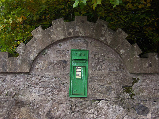 post boxpost box · 400 yd
 Coolatoor Housedemesne walls/gates/railings · 433 yd
 Japanese pagoda treeJapanese pagoda tree · 569 yd
 Bishopstown Castle in ruinsCastle, unclassified · 984 yd
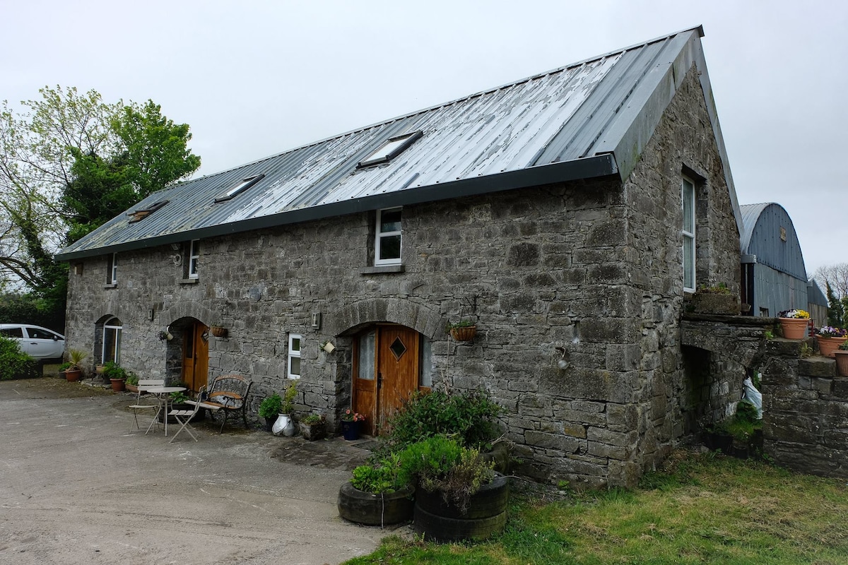 Enclosure in Ballinaspick or BishopstownEnclosure · 1155 yd
 KnockastiaMountain / peak · 1249 yd
 OutlinedCastle, motte and bailey · 1693 yd
 Sam's ParkForest · 1.7 mi
 Charles BianconiMemorial · 5.1 mi
 Moate HillMountain / peak · 5.1 mi
 The Bob Traynor GalleryGallery · 5.1 mi