What is recorded here
The following description is derived from both the published 'Archaeological Inventory of County Louth' (Dublin: Stationery Office, 1986) and the 'Archaeological Survey of County Louth' (Dublin: Stationery Office, 1991). In certain instances the entries have been revised and updated in the light of recent research.
Date of upload/revision: 17 July 2007
Situated on the N slope of Mt. Oriel, just off the summit, in an area of recently reclaimed land. Mound, roughly circular in plan (max. diam. 8.5m, H 1m), consisting of earth and stones, now badly disturbed by uprooted trees.
A Neolithic passage tomb; significant as a rare surviving example of early megalithic funerary architecture in the region.
The monument record does not grant public access. Check the route and ask the landowner before entering private land.
- What survives
- Recorded monument
Places near here
 Mount OrielMountain / peak · 313 yd
 Mount Oriel FortArchaeological place · 371 yd
 Fulacht fia in CollonFulacht fia · 1409 yd
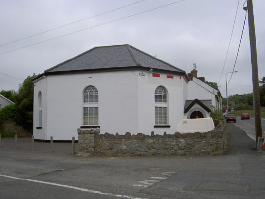 church/chapelchurch/chapel · 1.1 mi
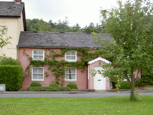 Grinny's Cottagehouse · 1.2 mi
 Black HillMountain / peak · 1.7 mi
 Cloghar WoodForest · 1.9 mi
 Pedunculate OakPedunculate Oak · 2.2 mi
 Site of Old CastleCastle, unclassified · 2.4 mi
 Irish Military Museum And ParkMuseum · 2.4 mi
 Not idicatatedCastle, unclassified · 3.1 mi
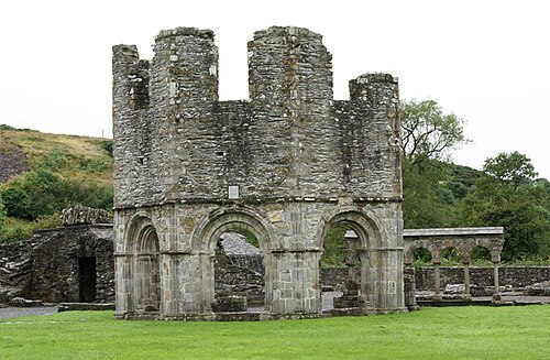 Mellifont AbbeyHeritage attraction · 3.8 mi