What is recorded here
This mound was identified on OS aerial photography (pers. comm. Dr Steve Davis, UCD).
Compiled by Geraldine Stout
Date of upload: 15/03/2012
The monument record does not grant public access. Check the route and ask the landowner before entering private land.
- What survives
- Recorded monument
Places near here
 Font in GernonstownFont · 1137 yd
 Little Glen WoodWood · 1246 yd
 Embanked enclosureFairy fort / earthen ringfort · 1301 yd
 Pollmore WoodWood · 1393 yd
 Slane CastleCastle, unclassified · 1440 yd
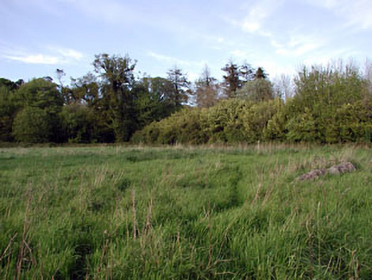 walled gardenwalled garden · 1.0 mi
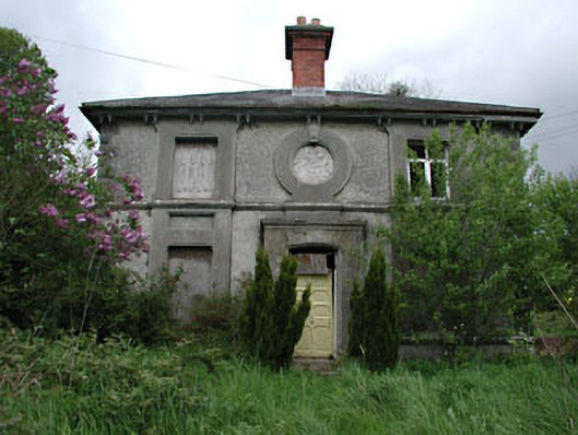 worker's houseworker's house · 1.1 mi
 MoatCastle, motte · 1.3 mi
 Pat's Art StudioGallery · 1.6 mi
 RiverviewMemorial · 1.7 mi
 Mullagha HillMountain / peak · 3.2 mi
 Simpson's MountainMountain / peak · 3.4 mi