
What is recorded here
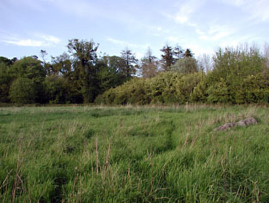
A subcircular sandstone font (diam. 0.63-0.7m; max. surviving H 0.46m) with a circular basin (int. diam. 0.5m; max. surviving D 0.16m) was recorded in Gernonstown church (ME019-006----) (Cogan 1862-70, 2, 303), but it became deeply embedded in the ground (Roe 1968, 119) of the rectangular graveyard (ME019-006001-). It is now outside the Roman Catholic church at Rushee (ME019-118----), c. 1km to the S.
Compiled by: Michael Moore
Date of upload: 15 December, 2014
The monument record does not grant public access. Check the route and ask the landowner before entering private land.
- What survives
- Recorded monument
Places near here
 Embanked enclosureFairy fort / earthen ringfort · 300 yd
 Font (present location) in Rushwee (slane Upper By., Slane Ed)Font (present location) · 1108 yd
 Pollmore WoodWood · 1372 yd
 Boyle's Fox CovertWood · 1.3 mi
 Slane CastleCastle, unclassified · 1.5 mi
 Church in CarrickdexterChurch · 1.6 mi
 walled gardenwalled garden · 1.6 mi
 MoatCastle, motte · 1.9 mi
 Pat's Art StudioGallery · 2.2 mi
 RiverviewMemorial · 2.3 mi
 Mullagha HillMountain / peak · 2.6 mi
 Simpson's MountainMountain / peak · 2.9 mi
Other information
Photo: Credit not shown in the picture search · Rights wording not checked; contact us if this picture should be removed