What is recorded here
Not included in the SMR (1989) but listed in the RMR (1995) and classified 'Mound'. Not shown on any edition of the OS 6-inch map. In wet pasture, on a slight E-facing slope and to S of the junction between two small fields (SL033-095001-, SL033-095002-). A flat-topped oval mound (6m N-S; 10m E-W; H 0.6m) enclosed by a drain (D 0.15m) which is an extension of that enclosing the two adjacent fields to N.The function of the mound is unknown and the field archaeologist considered it and the adjacent fields to be post-medieval in date. This is likely to be post-1700 AD in date.
Not included in the SMR (1989) but listed in the RMR (1995) and classified 'Mound'. Not shown on any edition of the OS 6-inch map. In wet pasture, on a slight E-facing slope and to S of the junction between two small fields (SL033-095001-, SL033-095002-). A flat-topped oval mound (6m N-S; 10m E-W; H 0.6m) enclosed by a drain (D 0.15m) which is an extension of that enclosing the two adjacent fields to N.The…
From the National Monuments Service (Archaeological Survey of Ireland) record SL033-095003
The monument record does not grant public access. Check the route and ask the landowner before entering private land.
- What survives
- Recorded monument
Places near here
Photo credits
- National Inventory of Architectural Heritage
- User:The.Q, Wikimedia Commons · CC BY-SA 2.5
- Willie Duffin, Wikimedia Commons · CC BY-SA 2.0
- Jon Sullivan, Wikimedia Commons · CC0
- Oliver Dixon, Geograph · CC BY-SA 2.0
- Gillaween, Wikimedia Commons · CC BY-SA 4.0
- Willow, Wikimedia Commons · CC BY 2.5
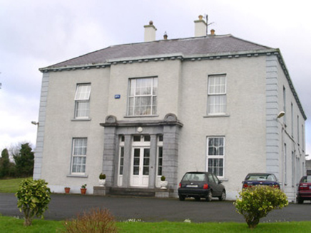 EarlsfieldHouse · 1011 yd
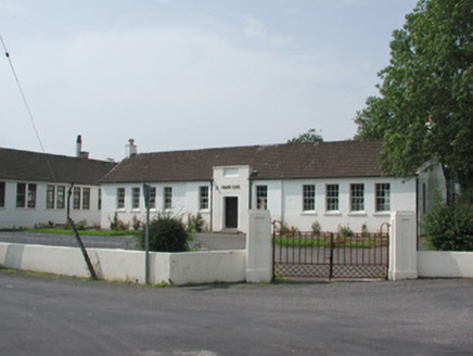 Ballymote Technical SchoolSchool · 1042 yd
 Fighting 69th MonumentMonument · 1457 yd
 Ballymote CastleCastle · 1505 ydBrother WalfridMemorial · 1506 ydRathdoonyCastle, motte · 1.7 mi
 Caves of KeshCave · 3.1 miSchool CaveCave · 3.2 mi
 Kesh CorannMountain / peak · 3.2 mi
 Sheela-na-gig in BehySheela-na-gig · 3.5 mi
 Elder3.7 mi
 European ash4.2 mi
More archaeology and monuments in County Sligo · All of County Sligo
What do you know about this place?