What is recorded here
Prominently sited on top of what's left of the forested Hill of Allen (OD 676 feet). The mound lies only 8m to the E of a sheer cliff-edge formed by the extensive Roadstone quarry which has removed a significant portion of the Hill to the S, W and N. According to the OSL (Herity 2002, 97 (32)), 'there are however no traces of forts nor any other monuments, excepting one small mound called Suidhe Finn, or Finn's Chair, which occupied the highest point of the hill.' This is a low, grass-covered, flat-topped, sub-circular mound (base diams. c. 43m E-W; c. 39m N-S; upper surface diams. 33.6m E-W; 30.3m N-S; H 1.4-1.8m along N and E; 2.2-c.2.5m along S and W). A 2m high post-and-wire fence has been erected around the edge of the top of the mound to prevent access to the quarry and, outside the fence, the sloping edges of the mound have been planted with palm trees. The surrounding ground to the NE, E and S is densely overgrown with whin and briar, and some of this overgrowth is establishing itself on the mound. Portion of the northern edge of the mound's slope has been scarped (H 0.8m), probably when the palm trees were planted, and reveals a mound composition of fawn-coloured, boulder clay-like material. The 19 century Aylmer Tower (KD018-021003----) stands on the mound, just southwest of centre and according to O'Grady (1903-5, 454-5), '… a cist-vein (KD018-021002----) is said to have been unearthed by the workmen employed in digging the foundations'.
Compiled by: Gearóid Conroy
Date of upload: 10 June 2011
A Neolithic passage tomb; possibly part of a broader ritual landscape associated with the Hill of Allen. Its location suggests ceremonial or territorial significance in the prehistoric period.
The monument record does not grant public access. Check the route and ask the landowner before entering private land.
- What survives
- Recorded monument
Places near here
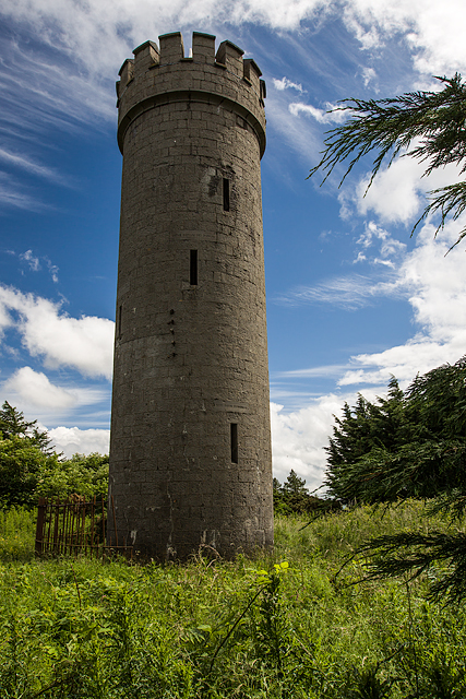 Allen TowerDesigned landscape, folly · 4 yd
 Hill of AllenMountain / peak · 11 yd
 Enclosure in BarnacrowEnclosure · 707 yd
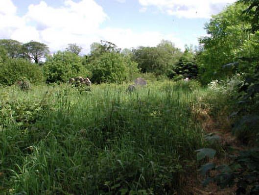 graveyard/cemeterygraveyard/cemetery · 1400 yd
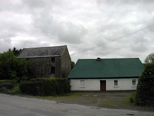 mill (water)mill (water) · 1545 yd
 Kilmeague CastleRuins · 1.7 mi
 Bawn in Grangeclare WestBawn · 2.1 mi
 Pollardstown Fen Nature ReserveNature reserve · 2.9 mi
 Grand Canal WayVisitor information · 3.4 mi
 Lullymore Heritage ParkHeritage attraction · 4.6 mi
 Foran's WoodForest · 4.6 mi
 Bithia Mary CrokerMemorial · 5.5 mi