What is recorded here
In pasture, located on a low rise on top of a NW–SE ridge, giving good views across falling ground to W, and of the Ox Mountains which define the horizon to S. An oblong or sub-rectangular mound (7.7m N–S; 5.9m E–W; H 0.8m at N, 1.2m at E) with a flat top (Wth 3m E–W). The sides slope in two tiers, giving the effect of a low narrow step or terrace encircling the base of the mound. On the E side several close-set stones form a facing around the upper tier. There are two stones set against the base of the mound on the E side. A number of large stones lying on top of the mound are recent additions. According to local tradition, the mound is known as the ‘Cotteen’ and is said to be a burial site associated with the chiefs of the O’Callaghan clan.
Compiled by: Jane O'Shaughnessy
Date of upload: 26 February 2013
The monument record does not grant public access. Check the route and ask the landowner before entering private land.
- What survives
- Recorded monument
Places near here
 Enclosure in Carns (tireragh By.)Enclosure · 1133 yd
 IndicatedFairy fort / earthen ringfort · 1.9 mi
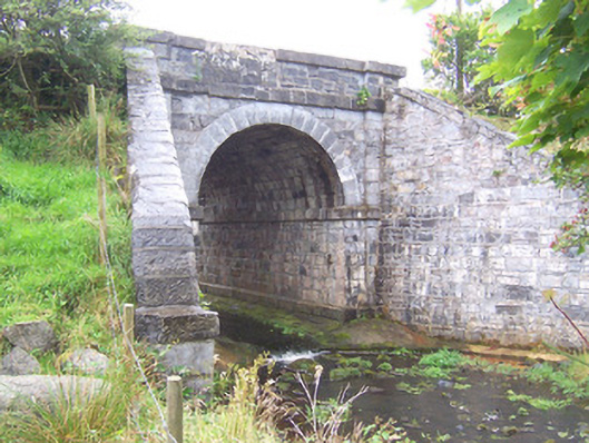 bridgebridge · 3.4 mi
 Penitential station in RathreedaunPenitential station · 3.8 mi
 CastleCastle, unclassified · 4.1 mi
 Grave of the Black PigArchaeological place · 4.3 mi
 The Black PigMemorial · 5.0 mi
 MeenamaddoMountain / peak · 5.1 mi
 Wild Atlantic Way: Inishcrone PierVisitor information · 5.2 mi
 Largan HillMountain / peak · 5.4 mi
 Castle FirbisCastle, tower house · 5.7 mi
 Lough Talt TrailVisitor information · 6.5 mi