
What is recorded here
In undulating pasture 175m E of the townland boundary with Coolfune. Enclosure (LI031-180----) lies 290m to NE and a moated site (LI031-042----) is 300m to WNW. The mound is not depicted on historic OSi maps, but is visible as a circular raised area on OSi orthoimages taken 2005-12 and on Digital Globe orthoimages taken 2011-2013. Identified by Bruff aerial photographic survey in 1986 (Bruff 1005; AP 4/3598) as a mound (ext. diam. c. 20m). The mound is not clear on Google Earth orthoimage taken 25/03/2017 and 28/06/2018, but does appear as a circular area above marshy reedy pasture in the other parts of the field. Doubtful antiquity could be a geomorphological feature rather than archaeological.
See attached Bruff survey image showing the site labelled Bruff 1005 and Google Earth orthoimages
Compiled by: Edmond O’Donovan
Date of upload: 6 October 2020
The monument record does not grant public access. Check the route and ask the landowner before entering private land.
- What survives
- Recorded monument
Places near here
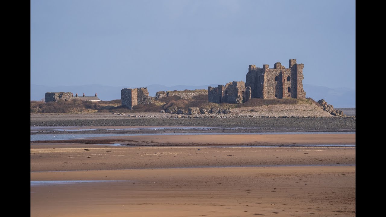 BarrowBarrow, ditch barrow · 351 yd
 Cathair Gail, HachuredEnclosure · 685 yd
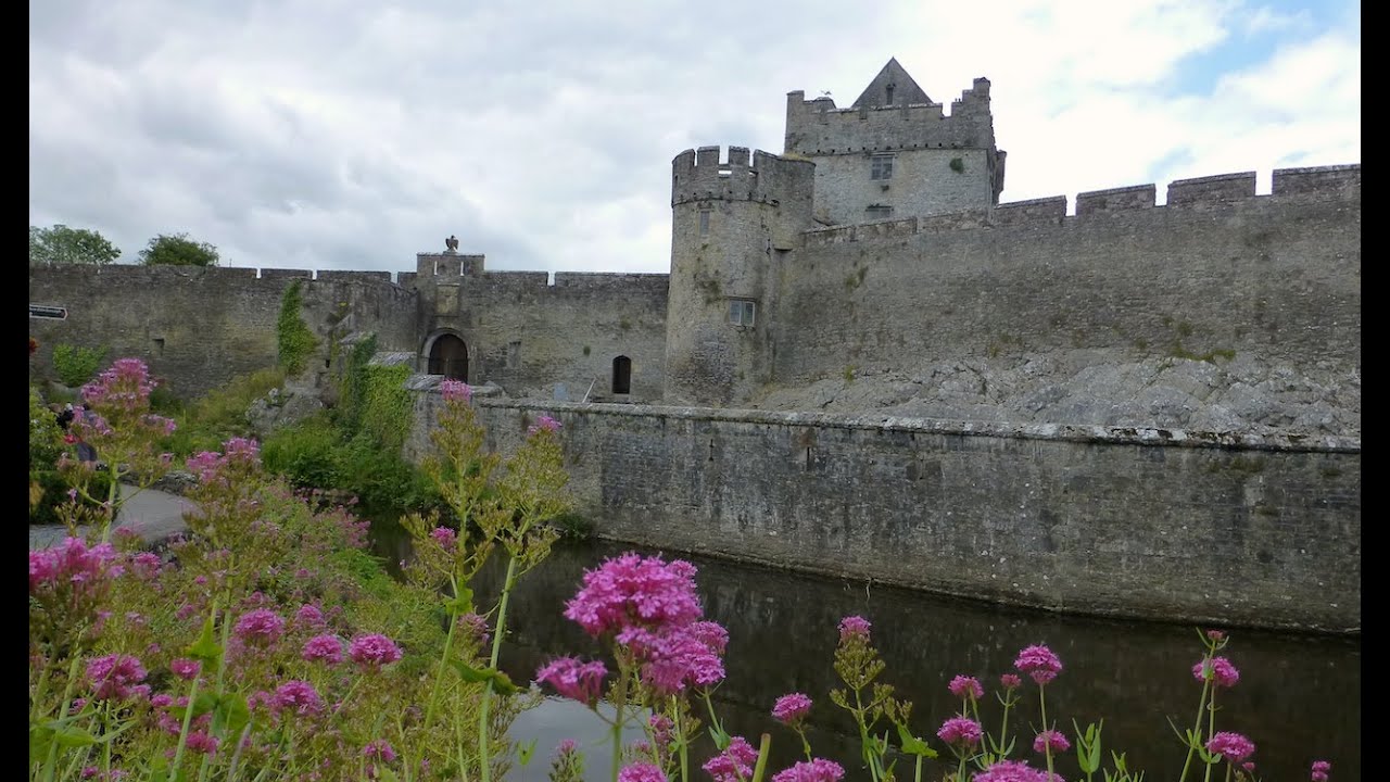 Cahir GuillamoreHouse, 17th century · 731 yd
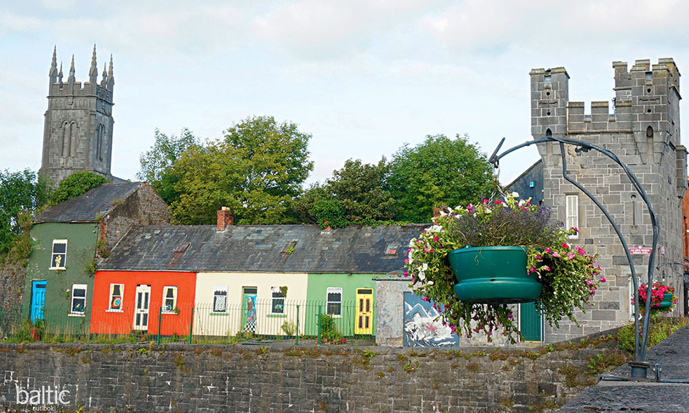 Indicated, GlebeHouse, indeterminate date · 1062 yd
 CastleCastle, unclassified · 1446 yd
 Glenogra Castle (in ruins)Castle, Anglo-Norman masonry castle · 1.2 mi
 Lough GurVisitor information · 1.6 mi
 Grange Stone CircleArchaeological place · 1.6 mi
 European ashEuropean ash · 4.0 mi
 Villiers WellSpring · 4.2 mi
 KnockainyMountain / peak · 5.1 mi
 Flat cemetery in Knockainy WestFlat cemetery · 6.1 mi
Other information
Photo: Credit not shown in the picture search · Rights wording not checked; contact us if this picture should be removed