
What is recorded here
In pasture, on the former deer park of Cahir Guillamore demesne and 90m NE of a townland boundary with a portion of Rockbarton Demesne deer park, (which is recorded on OSi maps within Caherguillamore townland). Within NW portion of field system (LI031-041001-). Depicted as a circular-shaped earthwork (42m NE-SW; 41m NW-SE) on the 1840 ed. OSi 6-inch map. Annotated ‘Cathair Gail’ and depicted as a semicircular-shaped enclosure on the 1897 ed. OSi 25-inch map. According to Dowd (1896, 80), this enclosure forms part of an extensive settlement that have been assumed to be the foundations of extensive buildings, and modern work refers to them as being “the remains of an ancient city of great extent”. Upstanding monument identified as a suboval-shaped enclosure on aerial image and annotated on key to aerial image (Ó Ríordáin and Hunt 1942, 40-41; Figures 1 and 2, Fort D). Ó Ríordáin and Hunt (ibid, 41) described this monument as: 'an irregular enclosure on the ground but one could not be certain that it is a fort'. Levelled monument is not visible on aerial photographs (ASIAP 307, 5), or on OSi orthoimages taken 2005-2012, or on Digital Globe orthoimages taken 2011-2013, although a circular-shaped cropmark (diam. 44m) is visible on Google Earth orthoimage taken 24/09/2018.
See attached Google Earth orthoimage, ASIAP and CUCAP aerial survey image with enclosure encircled and marked ‘X’, aerial image (Ó Ríordáin & Hunt 1942, 40) marked Figure 1 and key to aerial image marked Figure 2 (Fort D).
Compiled by: Alison McQueen and Vera Rahilly
Date of upload: 3 November 2020
The monument record does not grant public access. Check the route and ask the landowner before entering private land.
- What survives
- Recorded monument
Places near here
 Boulder-burial in Cahirguillamore (smallcounty By.)Boulder-burial · 173 yd
 Field system in Cahirguillamore (smallcounty By.)Field system · 350 yd
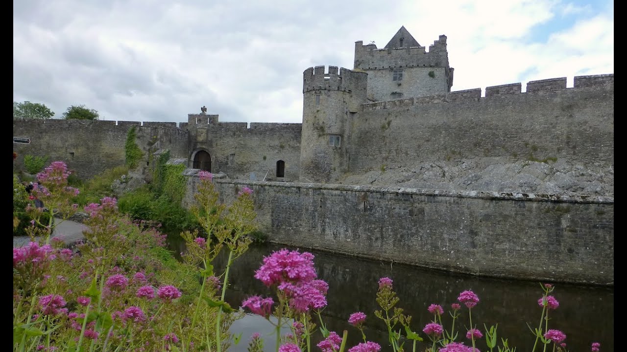 Cahir GuillamoreHouse, 17th century · 674 yd
 RoadRoad, road/trackway · 702 yd
 CastleCastle, unclassified · 931 yd
 Bawn in Grange (smallcounty By.)Bawn · 1.4 mi
 Lough GurVisitor information · 1.6 mi
 Grange Stone CircleArchaeological place · 1.6 mi
 European ashEuropean ash · 4.1 mi
 Villiers WellSpring · 4.6 mi
 KnockainyMountain / peak · 4.9 mi
 Flat cemetery in Knockainy WestFlat cemetery · 5.9 mi
Other information
Photo: Credit not shown in the picture search · Rights wording not checked; contact us if this picture should be removed