
What is recorded here
Described in 1942-3 as following; This is a very doubtful site, but the structure may be a very devolved megalith. It consists of a large boulder of limestone resting on a number of quite small stones under its centre. The small stones have not been placed with any particular care or arrangement. The maximum height of the top of the boulder is 4' [1.2m]. The stone measures 8' [2.4m] north-south and 5' 6" [1.7m] east-west' (O'Kelly 1942-3, 232). Boulder visible today on Digital Globe aerial photographs.
Compiled by: Caimin O'Brien
Date of upload: 3 March 2020
A boulder-burial, likely dating to the Neolithic or early Bronze Age; its significance lies in representing a simplified or devolved form of megalithic monument, reflecting regional variation in burial practices.
The monument record does not grant public access. Check the route and ask the landowner before entering private land.
- What survives
- Recorded monument
Places near here
 Cathair Gail, HachuredEnclosure · 173 yd
 Field system in Cahirguillamore (smallcounty By.)Field system · 367 yd
 RoadRoad, road/trackway · 550 yd
 Cahir GuillamoreHouse, 17th century · 720 yd
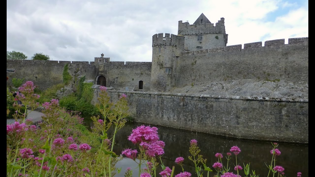
 CastleCastle, unclassified · 800 yd
 Bawn in Grange (smallcounty By.)Bawn · 1.4 mi
 Lough GurVisitor information · 1.6 mi
 Grange Stone CircleArchaeological place · 1.6 mi
 European ashEuropean ash · 4.2 mi
 Villiers WellSpring · 4.7 mi
 KnockainyMountain / peak · 4.8 mi
 Flat cemetery in Knockainy WestFlat cemetery · 5.8 mi
Other information
Photo: Credit not shown in the picture search · Rights wording not checked; contact us if this picture should be removed