What is recorded here
Situated immediately E of a field boundary on high ground in rolling pasture. Sub-circular area (11.6m N-S; 5.3m E-W) defined by a gentle scarp (H 0.8m) to the N, S and E. Large blocks of limestone are visible through the sod.
The monument record does not grant public access. Check the route and ask the landowner before entering private land.
- What survives
- Recorded monument
Places near here
 BarrowBarrow, mound barrow · 1 yd
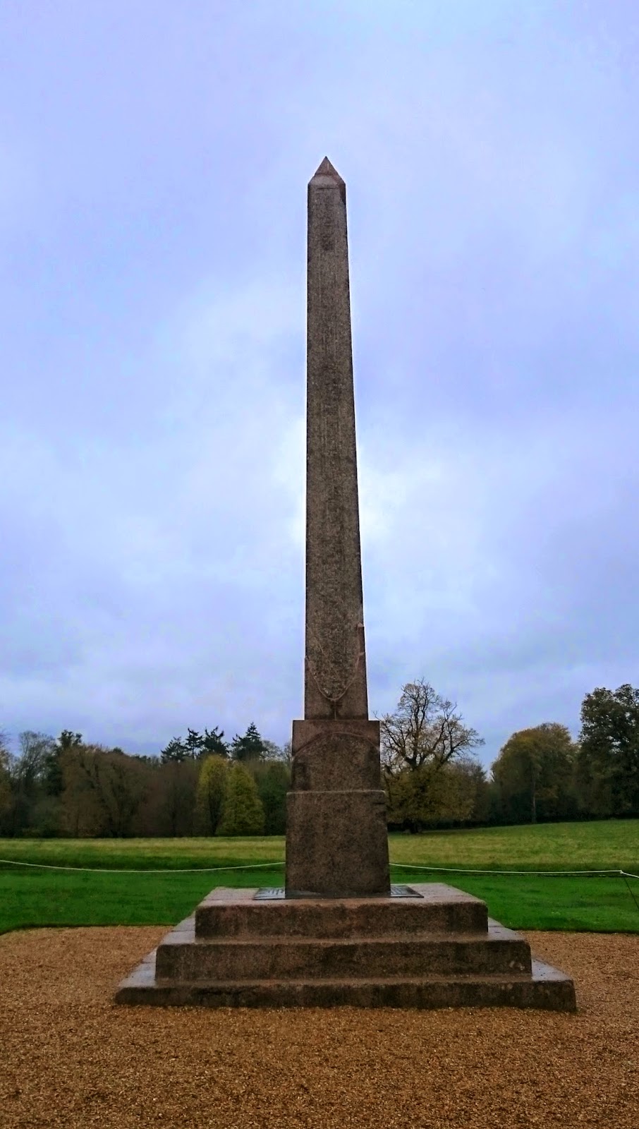 ObeliskCairn, unclassified · 76 yd
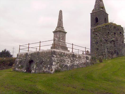 Cahernarry Churchmausoleum, obelisk · 228 yd
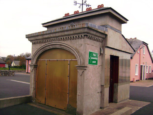 Drombanny Creamerycreamery · 1301 yd
 Tooreen Castle (in ruins)Castle, tower house · 1443 yd
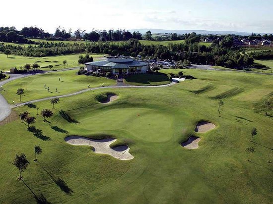 Ballyneety Castle (Site of)Castle, unclassified · 1.4 mi
 Wych ElmWych Elm · 2.4 mi
 Campus MapVisitor information · 3.6 mi
 Visitor CentreVisitor information · 3.6 mi
 Fountain SculptureHeritage attraction · 3.7 mi
 Graveyard in AbingtonGraveyard · 5.7 mi
 Carrigparson Househouse · 1515 yd