
What is recorded here
From the National Monuments Service (Archaeological Survey of Ireland) record WI009-035
Places near here
Photo credits
- Maker not stated on source page, www.irishfamilyhistorycentre.com
- Maker not stated on source page, pastvu.com
- R. A., Wikimedia Commons · Public domain
- JP, Geograph · CC BY-SA 2.0
- National Inventory of Architectural Heritage
- Maker not stated on source page, www.flickr.com
- Maker not stated on source page, www.alamy.com
- Ballymore Eustace GAA & LGFA Club; individual photographer not stated, ballymoreeustacegaa.com
- Golfing in Ireland; photographer not stated, Source publisher
- Maker not stated on source page, commons.wikimedia.org
- Sitomon, Wikimedia Commons · CC BY-SA 2.0
- Maker not stated on source page, www.youtube.com
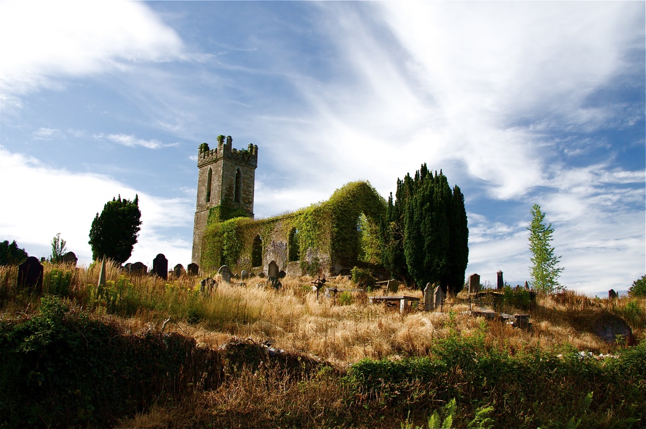 Flat cemetery in BritonstownFlat cemetery · 744 yd
Explorer Tom Flat cemetery in Britonstown has been asked so many times if it’s actually flat that it’s now just lying down to prove…
 Poulaphuca WaterfallWaterfall · 813 yd
Explorer Tom Poulaphuca Waterfall would bring a big bucket of ice to any party and expect everyone to dance in it until their toes…
 Pollaphuca BridgeBridge · 818 yd
Explorer Tom Pollaphuca Bridge in Blakestown Lower is being told by the seagulls that it looks like it’s trying to fly but has…
 Dry BridgeBridge · 846 yd
Explorer Tom Dry Bridge in Blakestown is sitting pretty, acting like a celebrity just because its neighbour is a bit more dramatic.…
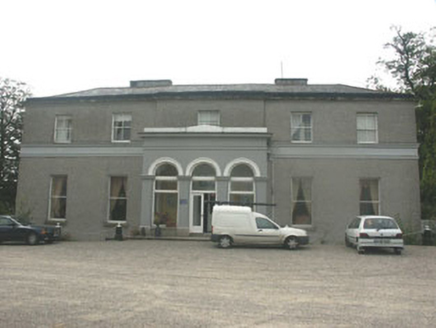 Tulfarris HouseHouse · 1430 yd
Explorer Tom Tulfarris House was put in the wrong spot by map makers who were clearly having a bad day. It’s an 18th-century solid…
 Passage tomb in Blakestown UpperPassage tomb · 1475 yd
Explorer Tom Passage tomb in Blakestown Upper is encased in peat, basically wearing a natural coat because it got cold feet about…
 Stone CrossCross · 1552 yd
Explorer Tom Stone Cross in Ballysize Lower is sitting on 'the Bishop's Grave,' which sounds like a very expensive parking spot. I…
 Ballymore Eustace GAA pitchGAA ground · 1617 yd
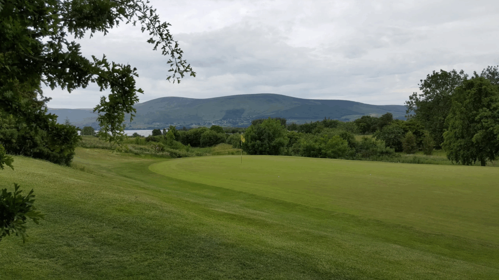 Blessington Lakes Golf ClubGolf course · 1.5 mi
 Baltyboys CemeteryGraveyard · 1.7 mi
Explorer Tom Baltyboys Cemetery is right next door to where a love story went badly wrong involving a very angry uncle and a missing…
 European Yew2.1 mi
Explorer Tom European Yew in County Wicklow would win the county fair by simply standing still while everyone else tries to juggle…
 Castle RockArchaeological place · 2.1 mi
Explorer Tom Castle Rock in County Wicklow is an archaeological place that probably knows more secrets than your bank manager, but…
More archaeology and monuments in County Wicklow · All of County Wicklow

What do you know about this place?Tap to add a comment or ask a question